
1964 Map of Sandersville
USGS Topo · Published 1965About this map
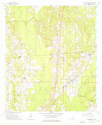
Sandersville sits at the heart of this mid-1960s survey, a rail-oriented town positioned along the Southern Railroad. The landscape is a complex intersection of early frontier history and modern industrial extraction, most notably marked by the Old Indian Treaty Boundary cutting across the central hills and the extensive Oil Field operations in the north. The area is densely wooded, drained by the meandering Tallahala Creek and its many tributaries like Bogue Homo and Reedy Creek. Scattered throughout the rural piney woods are numerous family and community landmarks, including Victory Ch and the Old Sharon Cem. Local industry is further represented by a Refinery and a Gravel Pit, while the Errata Lookout Tower stands near the small settlement of Errata in the south, overseeing the timberlands.
Find a feature on this map
45 named features on this map. Tap any name to fly to it.
Don’t see what you’re looking for? This feature index may not catch every label — zoom into the map to look around manually.
Map Details
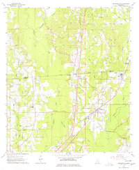
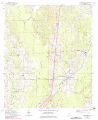
Editions of this 1964 Sandersville Map
4 editions found
Other maps of this area

1953 · Hattiesburg
USGS Topo · 1:250,000

1958 · Hattiesburg
USGS Topo · 1:250,000

1963 · Waldrup
USGS Topo · 1:24,000

1963 · Heidelberg
USGS Topo · 1:24,000

1964 · Heidelberg SW
USGS Topo · 1:24,000

1964 · Moss
USGS Topo · 1:24,000

1964 · Laurel East
USGS Topo · 1:24,000

1964 · Laurel West
USGS Topo · 1:24,000

1964 · Myrick
USGS Topo · 1:24,000

1964 · Lake Como
USGS Topo · 1:24,000