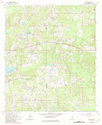
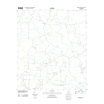
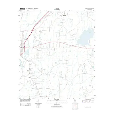
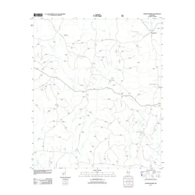
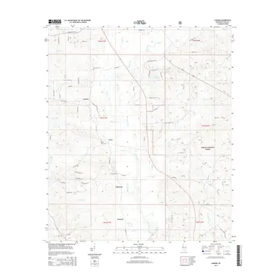
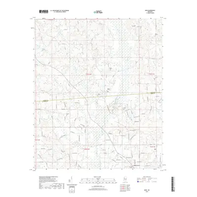
1964 Map of Moss
USGS Topo · Published 1982About this map
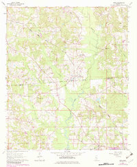
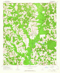
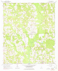
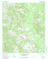
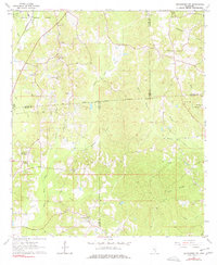
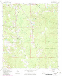
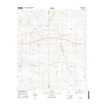
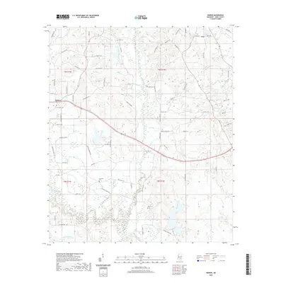
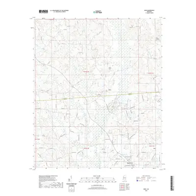
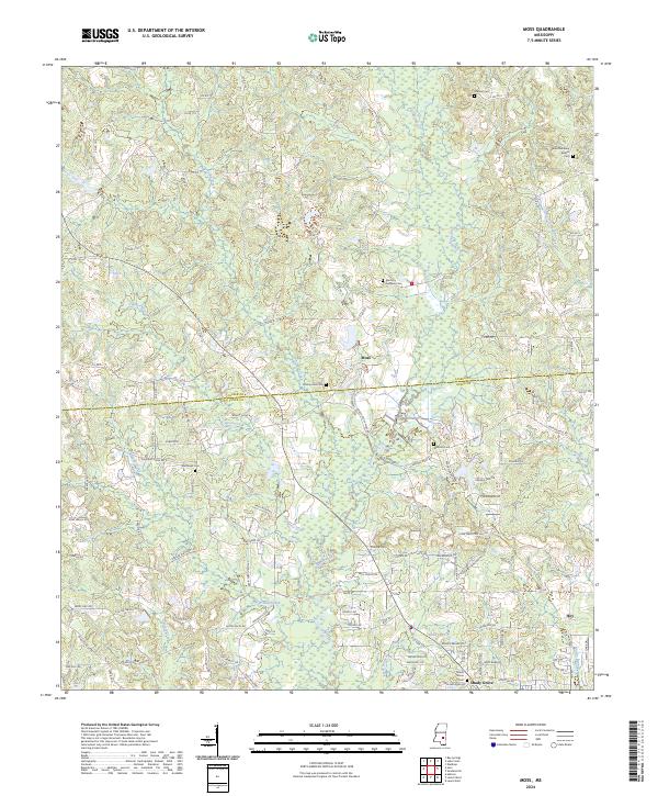
The Old Indian Treaty Boundary cuts across the center of this landscape, marking a historical divide near the junction of Jasper Co and Jones Co. The Gulf Central Illinois railroad serves the small community at Moss (Mossville Sta), which functions as a central point for the surrounding rural homesteads. The terrain is defined by a dense network of watercourses including Terrapin Creek, Tallahoma Creek, and Cypress Creek, which dictate the placement of local roads and religious centers. Notable community landmarks such as the Union Seminary and its associated Union Seminary Ch illustrate the local emphasis on education and faith. Further south, the settlement of Shady Grove and its Shady Grove Cem anchor the social geography, while scattered extractive sites like the Claypit and Oil Well reflect the area's mid-century natural resource economy.
Find a feature on this map
31 named features on this map. Tap any name to fly to it.
Don’t see what you’re looking for? This feature index may not catch every label — zoom into the map to look around manually.
Map Details
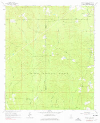
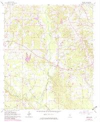
Editions of this 1964 Moss Map
3 editions found
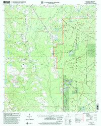
Historical Maps of Moss Through Time
55 maps found
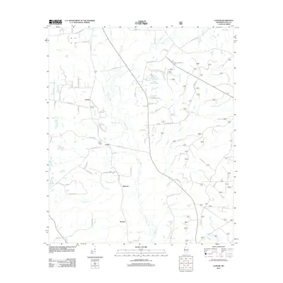
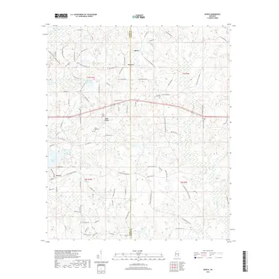
1963 Barrontown
Jones County, MS
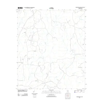
1964 Heidelberg SW
Jones County, MS
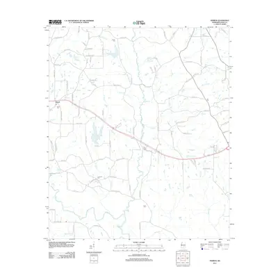
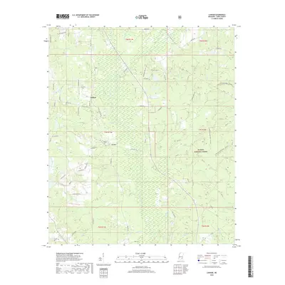
1964 Lanham
Jones County, MS
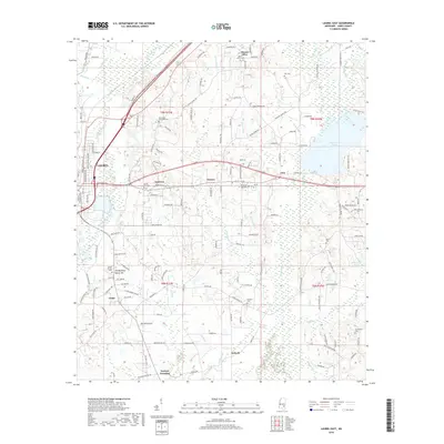
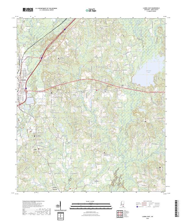
1964 Laurel East
Jones County, MS
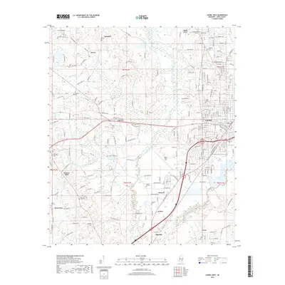
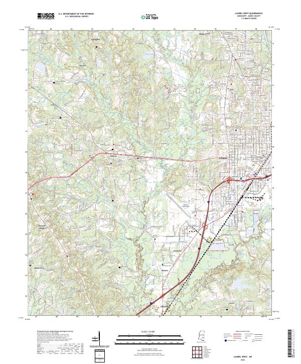
1964 Laurel West
Jones County, MS
1964 Moss
Jones County, MS
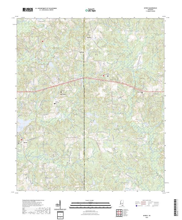
1964 Myrick
Jones County, MS
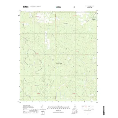
1964 Strengthford
Jones County, MS
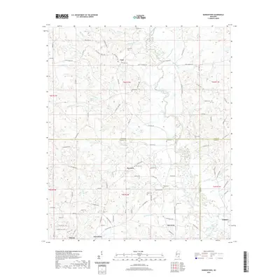
1965 Hebron
Jones County, MS
2000 Lanham
Jones County, MS
2012 Barrontown
Jones County, MS
2012 Hebron
Jones County, MS
2012 Heidelberg SW
Jones County, MS
2012 Lanham
Jones County, MS
2012 Laurel East
Jones County, MS
2012 Laurel West
Jones County, MS
2012 Moss
Jones County, MS
2012 Myrick
Jones County, MS
2012 Strengthford
Jones County, MS
2015 Barrontown
Jones County, MS
2015 Hebron
Jones County, MS
2015 Heidelberg SW
Jones County, MS
2015 Lanham
Jones County, MS
2015 Laurel East
Jones County, MS
2015 Laurel West
Jones County, MS
2015 Moss
Jones County, MS
2015 Myrick
Jones County, MS
2015 Strengthford
Jones County, MS
2018 Barrontown
Jones County, MS
2018 Hebron
Jones County, MS
2018 Heidelberg SW
Jones County, MS
2018 Lanham
Jones County, MS
2018 Laurel East
Jones County, MS
2018 Laurel West
Jones County, MS
2018 Moss
Jones County, MS
2018 Myrick
Jones County, MS
2018 Strengthford
Jones County, MS
2020 Barrontown
Jones County, MS
2020 Hebron
Jones County, MS
2020 Heidelberg SW
Jones County, MS
2020 Laurel East
Jones County, MS
2020 Laurel West
Jones County, MS
2020 Moss
Jones County, MS
2020 Myrick
Jones County, MS
2021 Lanham
Jones County, MS
2021 Strengthford
Jones County, MS
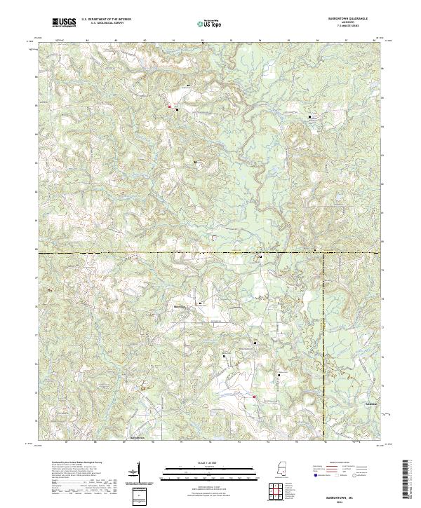
2024 Barrontown
Jones County, MS
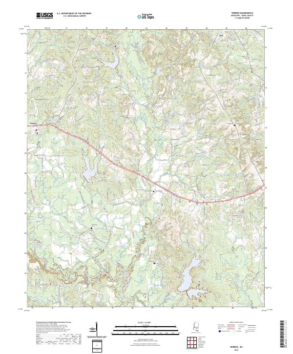
2024 Hebron
Jones County, MS
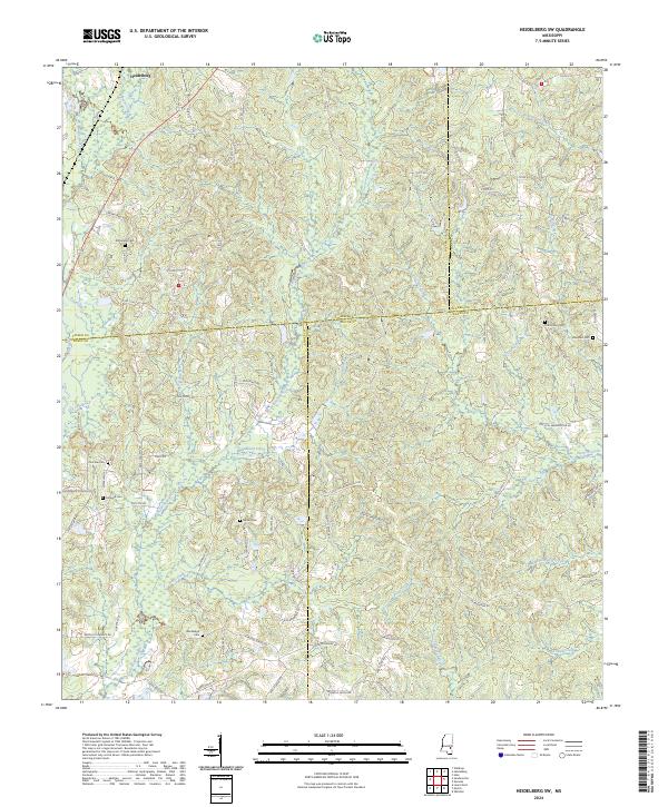
2024 Heidelberg SW
Jones County, MS
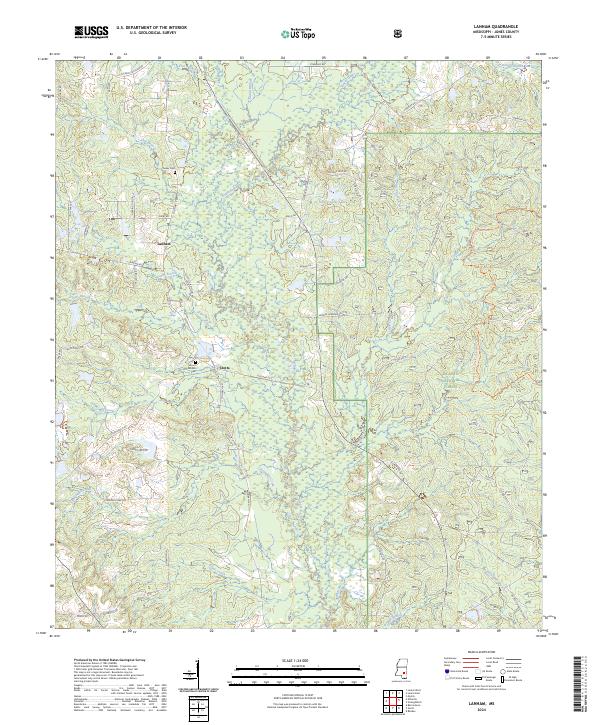
2024 Lanham
Jones County, MS
2024 Laurel East
Jones County, MS
2024 Laurel West
Jones County, MS
2024 Moss
Jones County, MS
2024 Myrick
Jones County, MS
2024 Strengthford
Jones County, MS