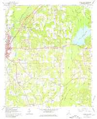
1964 Map of Laurel East
USGS Topo · Published 1981About this map
Industrial and rural landscapes converge near Laurel in this mid-1960s survey. The eastern outskirts of the city show significant development, including the Nora Davis Sch and several radio towers, while the surrounding countryside is defined by the branching waterways of Tallahala Creek and the Bogue Homo. To the east, Lake Bogue Homo and the nearby Masonite Lake highlight the importance of water resources to the local timber and processing industries.
Find a feature on this map
54 named features on this map. Tap any name to fly to it.
Don’t see what you’re looking for? This feature index may not catch every label — zoom into the map to look around manually.
Map Details
Editions of this 1964 Laurel East Map
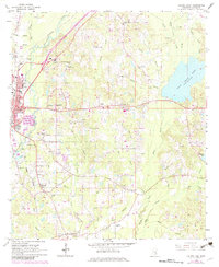
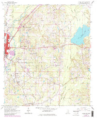
4 editions found
Other maps of this area

1953 · Hattiesburg
USGS Topo · 1:250,000

1958 · Hattiesburg
USGS Topo · 1:250,000

1964 · Heidelberg SW
USGS Topo · 1:24,000

1964 · Moss
USGS Topo · 1:24,000

1964 · Sandersville
USGS Topo · 1:24,000

1964 · Laurel East
USGS Topo · 1:24,000

1964 · Laurel West
USGS Topo · 1:24,000

1964 · Ellisville
USGS Topo · 1:24,000

1964 · Myrick
USGS Topo · 1:24,000

1964 · Strengthford
USGS Topo · 1:24,000