
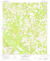
1964 Map of Seminary
USGS Topo · Published 1965About this map
Okatoma Creek carves a winding path through this portion of South Mississippi, serving as a primary drainage for numerous family-named tributaries like Nels Graham Br and Jim Neely Br. The settlement of Seminary is situated along the Illinois Central railroad corridor, a vital transit link for the region's timber and agricultural interests. Numerous small gravel pits dot the landscape, particularly near the northern heights of Eminence.
Find a feature on this map
48 named features on this map. Tap any name to fly to it.
Don’t see what you’re looking for? This feature index may not catch every label — zoom into the map to look around manually.
Map Details
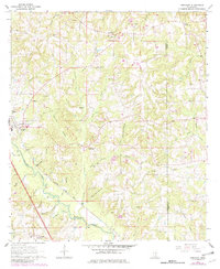
Editions of this 1964 Seminary Map
3 editions found
Other maps of this area

1953 · Hattiesburg
USGS Topo · 1:250,000

1958 · Hattiesburg
USGS Topo · 1:250,000

1965 · Hebron
USGS Topo · 1:24,000

1965 · Eastabuchie
USGS Topo · 1:24,000

1965 · Hot Coffee
USGS Topo · 1:24,000

1965 · Moselle
USGS Topo · 1:24,000

1965 · Sanford
USGS Topo · 1:24,000

1974 · Sumrall
USGS Topo · 1:24,000

1974 · Williamsburg
USGS Topo · 1:24,000

1974 · Collins
USGS Topo · 1:24,000