
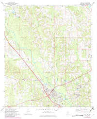
1974 Map of Collins
USGS Topo · Published 1978About this map
The Illinois Central Gulf railroad serves as the industrial spine for this portion of Mississippi, running southeast through Ora and Collins before continuing toward Kola. In the mid-1970s, the landscape around the city of Collins shows a significant energy and transport infrastructure, including a prominent Tank Farm and Pumping Station linked to regional pipelines. This industrial presence contrasts with the older community landmarks, such as the Covington Lookout Tower and a series of rural congregations including Jones Chapel and Salem Ch.
Find a feature on this map
40 named features on this map. Tap any name to fly to it.
Don’t see what you’re looking for? This feature index may not catch every label — zoom into the map to look around manually.
Map Details
Editions of this 1974 Collins Map
3 editions found
Other maps of this area

1953 · Hattiesburg
USGS Topo · 1:250,000

1958 · Hattiesburg
USGS Topo · 1:250,000

1964 · Seminary
USGS Topo · 1:24,000

1965 · Hot Coffee
USGS Topo · 1:24,000

1974 · Lone Star
USGS Topo · 1:24,000

1974 · Williamsburg
USGS Topo · 1:24,000

1974 · Lake Mike Connor
USGS Topo · 1:24,000

1975 · Taylorsville
USGS Topo · 1:24,000

1975 · Mize
USGS Topo · 1:24,000
1975 · Magee South
USGS Topo · 1:24,000