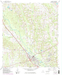
1974 Map of Collins
USGS Topo · Published 1982About this map
The Illinois Central Gulf railroad cuts a diagonal line through the heart of Covington County, anchoring the commercial and social geography of Collins and the nearby settlement of Ora in the mid-1970s. This survey reveals a landscape where the riverine network of Okatoma Creek and Shelby Creek dictates the placement of early rural landmarks. Local genealogy is well-documented through numerous small congregations and burial sites, including Spring Hill Ch, Jones Chapel, and the Mt Zion Ch (Cem). Industrial activity is represented by various Gravel Pits and a modern Tank Farm near the railway, reflecting the area's transition toward post-war utility and infrastructure. Further notable details include the Covington Lookout Tower and the small residential footprint at Kola, providing a clear record of South Mississippi's rural development before modern expansion.
Find a feature on this map
46 named features on this map. Tap any name to fly to it.
Don’t see what you’re looking for? This feature index may not catch every label — zoom into the map to look around manually.
Map Details
Editions of this 1974 Collins Map
3 editions found
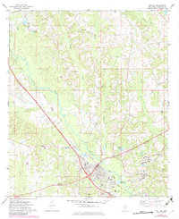
Other maps of this area

1953 · Hattiesburg
USGS Topo · 1:250,000

1958 · Hattiesburg
USGS Topo · 1:250,000

1964 · Seminary
USGS Topo · 1:24,000

1965 · Hot Coffee
USGS Topo · 1:24,000

1974 · Lone Star
USGS Topo · 1:24,000

1974 · Williamsburg
USGS Topo · 1:24,000

1974 · Collins
USGS Topo · 1:24,000

1974 · Lake Mike Connor
USGS Topo · 1:24,000

1975 · Taylorsville
USGS Topo · 1:24,000

1975 · Mize
USGS Topo · 1:24,000