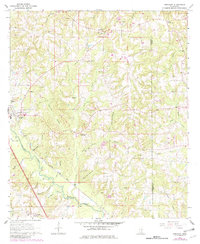
1964 Map of Seminary
USGS Topo · Published 1982About this map
Seminary serves as a primary hub for this Covington County landscape, where the Illinois Central Gulf railroad follows the winding path of Okatoma Creek. The area is defined by its deep network of named watercourses, including Curry Creek, Wolf Pen Branch, and Shelton Creek, which feed into the larger river valley. These waterways historically shaped the rural settlement pattern, with small communities like Eminence and Oak Bowery appearing near prominent ridge lines and stream forks.
Find a feature on this map
49 named features on this map. Tap any name to fly to it.
Don’t see what you’re looking for? This feature index may not catch every label — zoom into the map to look around manually.
Map Details
Editions of this 1964 Seminary Map
3 editions found
Other maps of this area

1953 · Hattiesburg
USGS Topo · 1:250,000

1958 · Hattiesburg
USGS Topo · 1:250,000

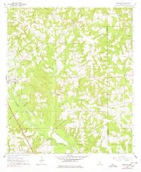
1964 · Seminary
USGS Topo · 1:24,000

1965 · Hebron
USGS Topo · 1:24,000

1965 · Eastabuchie
USGS Topo · 1:24,000

1965 · Hot Coffee
USGS Topo · 1:24,000

1965 · Moselle
USGS Topo · 1:24,000

1965 · Sanford
USGS Topo · 1:24,000

1974 · Sumrall
USGS Topo · 1:24,000

1974 · Williamsburg
USGS Topo · 1:24,000