
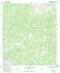
1969 Map of Baxterville NE
USGS Topo · Published 1971About this map
Small country churches and a winding network of creek branches define this rural Lamar County landscape in the late 1960s. The presence of an Old Railroad Grade north of Driven Branch suggests a history of timbering or localized transport that had already transitioned by the time of this survey. Notable local landmarks include the Lamar Lookout Tower and a series of rural spiritual centers such as Greenville Ch, Bay Creek Ch, and Caney Ch.
Find a feature on this map
33 named features on this map. Tap any name to fly to it.
Don’t see what you’re looking for? This feature index may not catch every label — zoom into the map to look around manually.
Map Details
Editions of this 1969 Baxterville NE Map
2 editions found
Other maps of this area

1953 · Hattiesburg
USGS Topo · 1:250,000

1958 · Hattiesburg
USGS Topo · 1:250,000

1964 · Purvis
USGS Topo · 1:24,000

1964 · Lumberton
USGS Topo · 1:24,000

1965 · Hattiesburg SW
USGS Topo · 1:24,000

1969 · Baxterville SW
USGS Topo · 1:24,000
1969 · Baxterville
USGS Topo · 1:24,000

1969 · Pinebur
USGS Topo · 1:24,000

1974 · Oloh
USGS Topo · 1:24,000

1984 · Hattiesburg
USGS Topo · 1:250,000