
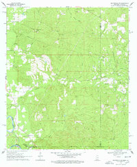
1969 Map of Baxterville SW
USGS Topo · Published 1971About this map
Industrial infrastructure meets rural heritage in this 1969 survey of the Baxterville Oil and Gas Field area. The landscape is defined by the heavy presence of energy extraction, marked by extensive pipelines crossing the terrain near Stony Point Hill and Clay Hill. This industrial activity sits alongside long-established community landmarks, including the Sweet Home Ch in the west and several family-named burial grounds such as Howard Cem and Ford Cem.
Find a feature on this map
31 named features on this map. Tap any name to fly to it.
Don’t see what you’re looking for? This feature index may not catch every label — zoom into the map to look around manually.
Map Details
Editions of this 1969 Baxterville SW Map
4 editions found
Other maps of this area

1949 · Angie
USGS Topo · 1:31,680

1953 · Hattiesburg
USGS Topo · 1:250,000

1953 · Mobile
USGS Topo · 1:250,000

1957 · Mobile
USGS Topo · 1:250,000

1958 · Hattiesburg
USGS Topo · 1:250,000

1959 · Bogalusa
USGS Topo · 1:62,500

1959 · Poplarville
USGS Topo · 1:62,500

1960 · Mobile
USGS Topo · 1:250,000

1963 · Mobile
USGS Topo · 1:250,000

1965 · Mobile
USGS Topo · 1:250,000