
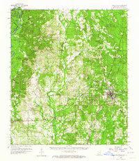
1959 Map of Poplarville
USGS Topo · Published 1960About this map
The Poplarville quadrangle is characterized by the upland timberlands and creek valleys of southern Mississippi during the late 1950s. The Southern Railway corridor serves as the primary developmental axis, connecting the town of Poplarville with the rural community of Orvisburg. This period shows the region's balance between educational growth at Pearl River Jr College and the preservation of the landscape within the De Soto National Forest.
Find a feature on this map
53 named features on this map. Tap any name to fly to it.
Don’t see what you’re looking for? This feature index may not catch every label — zoom into the map to look around manually.
Map Details
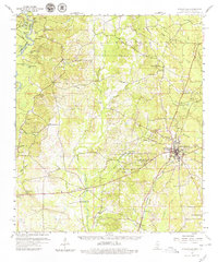
Editions of this 1959 Poplarville Map
3 editions found
Other maps of this area

1942 · Pools Bluff
USGS Topo · 1:31,680

1949 · Bogalusa East
USGS Topo · 1:31,680

1949 · Angie
USGS Topo · 1:31,680

1953 · Hattiesburg
USGS Topo · 1:250,000

1953 · Mobile
USGS Topo · 1:250,000

1955 · Savannah
USGS Topo · 1:62,500

1957 · Mobile
USGS Topo · 1:250,000

1958 · Hattiesburg
USGS Topo · 1:250,000

1958 · Carnes
USGS Topo · 1:62,500

1958 · Picayune
USGS Topo · 1:62,500