
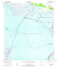
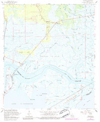
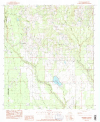
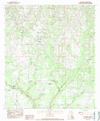
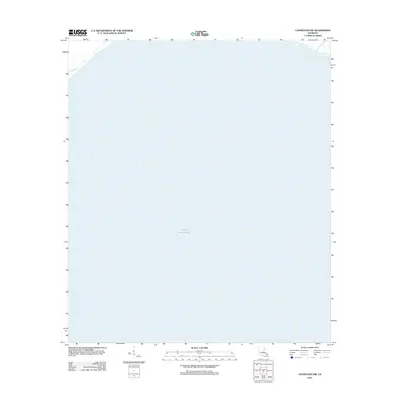
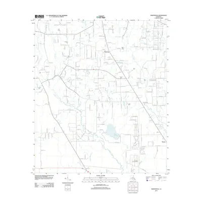
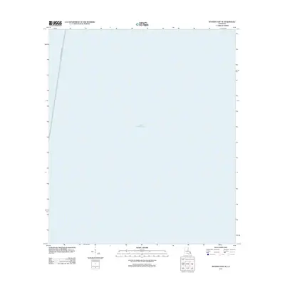
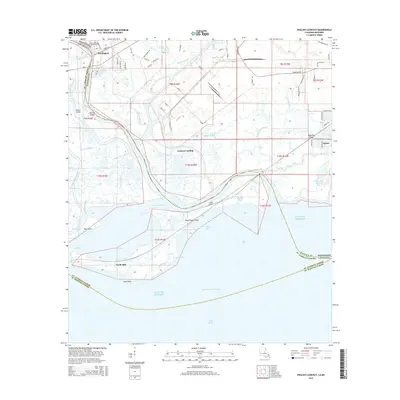
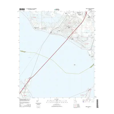
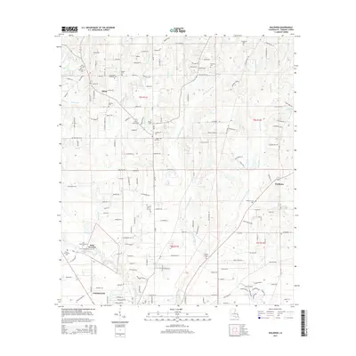
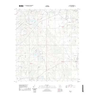
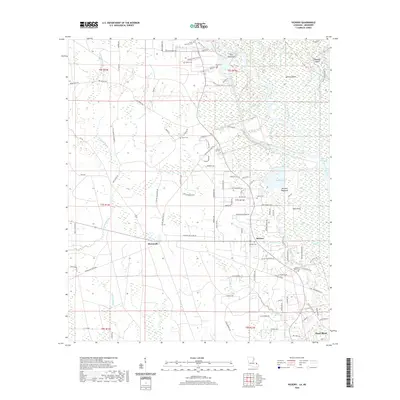
1942 Map of Pools Bluff
USGS Topo · Published 1942About this map
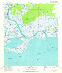
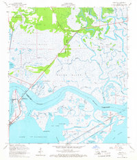
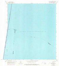
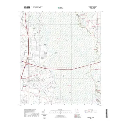
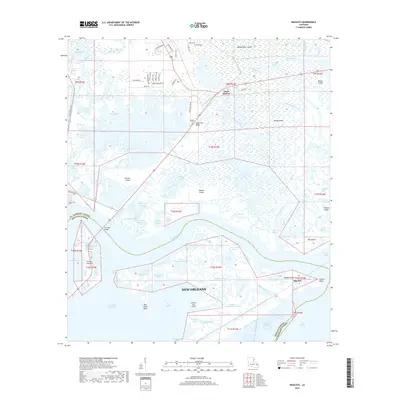
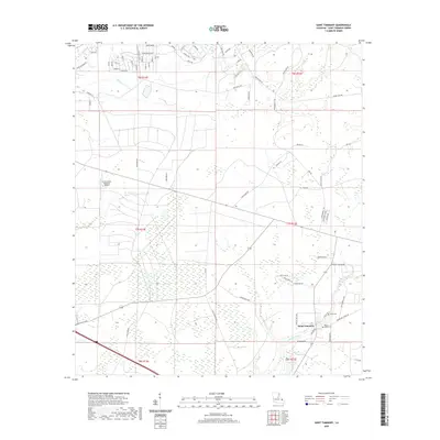
The Pearl River snakes along the Louisiana and Mississippi state line in this 1939 field examination, marking a landscape of dense cypress swamps and seasonal waterways. The terrain is defined by a network of bayous and ponds, including Persimmon Bayou, Duck Pond, and Hells Gate, illustrating the complex hydrology of the lower river basin before modern flood control altered these drainage patterns. Small communities and family landmarks are concentrated along the higher ground of the western bank, particularly near Pools Bluff and Red Bluff.
Find a feature on this map
44 named features on this map. Tap any name to fly to it.
Don’t see what you’re looking for? This feature index may not catch every label — zoom into the map to look around manually.
Map Details
Editions of this 1942 Pools Bluff Map
This is the sole edition of this map. No revisions or reprints were ever made.
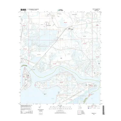
Historical Maps of Bogalusa Through Time
89 maps found

1935 English Lookout
St. Tammany Parish, LA

1936 North Shore
St. Tammany Parish, LA

1941 Honey Island
St. Tammany Parish, LA

1942 Onville
St. Tammany Parish, LA
1942 Pools Bluff
St. Tammany Parish, LA

1942 Talisheek
St. Tammany Parish, LA

1942 Waldheim
St. Tammany Parish, LA

1942 Walkiah Bluff
St. Tammany Parish, LA

1946 Rigolets
St. Tammany Parish, LA

1950 Haaswood
St. Tammany Parish, LA
1951 North Shore
St. Tammany Parish, LA

1954 English Lookout
St. Tammany Parish, LA

1954 Haaswood
St. Tammany Parish, LA

1954 Rigolets
St. Tammany Parish, LA
1956 English Lookout
St. Tammany Parish, LA
1956 Rigolets
St. Tammany Parish, LA
1959 Haaswood
St. Tammany Parish, LA
1965 Spanish Fort NE
St. Tammany Parish, LA
1967 North Shore
St. Tammany Parish, LA
1968 Covington SW
St. Tammany Parish, LA
1968 English Lookout
St. Tammany Parish, LA
1968 Rigolets
St. Tammany Parish, LA
1970 St. Tammany
St. Tammany Parish, LA
1971 Hickory
St. Tammany Parish, LA

1976 Folsom NW
St. Tammany Parish, LA
1983 Bush
St. Tammany Parish, LA
1983 Martinville
St. Tammany Parish, LA
1983 Waldheim
St. Tammany Parish, LA
1993 English Lookout
St. Tammany Parish, LA

1993 Haaswood
St. Tammany Parish, LA

1993 Rigolets
St. Tammany Parish, LA

1998 Haaswood
St. Tammany Parish, LA

1998 Hickory
St. Tammany Parish, LA

1998 Rigolets
St. Tammany Parish, LA
2012 Bush
St. Tammany Parish, LA
2012 Covington SW
St. Tammany Parish, LA
2012 English Lookout
St. Tammany Parish, LA
2012 Haaswood
St. Tammany Parish, LA
2012 Hickory
St. Tammany Parish, LA
2012 Martinville
St. Tammany Parish, LA
2012 North Shore
St. Tammany Parish, LA
2012 Rigolets
St. Tammany Parish, LA
2012 Saint Tammany
St. Tammany Parish, LA
2012 Spanish Fort NE
St. Tammany Parish, LA
2012 Waldheim
St. Tammany Parish, LA
2015 Bush
St. Tammany Parish, LA
2015 Covington SW
St. Tammany Parish, LA
2015 English Lookout
St. Tammany Parish, LA
2015 Haaswood
St. Tammany Parish, LA
2015 Hickory
St. Tammany Parish, LA
2015 Martinville
St. Tammany Parish, LA
2015 North Shore
St. Tammany Parish, LA
2015 Rigolets
St. Tammany Parish, LA
2015 Saint Tammany
St. Tammany Parish, LA
2015 Spanish Fort NE
St. Tammany Parish, LA
2015 Waldheim
St. Tammany Parish, LA
2018 Bush
St. Tammany Parish, LA
2018 Covington SW
St. Tammany Parish, LA
2018 English Lookout
St. Tammany Parish, LA
2018 Haaswood
St. Tammany Parish, LA
2018 Hickory
St. Tammany Parish, LA
2018 Martinville
St. Tammany Parish, LA
2018 North Shore
St. Tammany Parish, LA
2018 Rigolets
St. Tammany Parish, LA
2018 Saint Tammany
St. Tammany Parish, LA
2018 Spanish Fort NE
St. Tammany Parish, LA
2018 Waldheim
St. Tammany Parish, LA
2020 Bush
St. Tammany Parish, LA
2020 Covington SW
St. Tammany Parish, LA
2020 English Lookout
St. Tammany Parish, LA
2020 Haaswood
St. Tammany Parish, LA
2020 Hickory
St. Tammany Parish, LA
2020 Martinville
St. Tammany Parish, LA
2020 North Shore
St. Tammany Parish, LA
2020 Rigolets
St. Tammany Parish, LA
2020 Saint Tammany
St. Tammany Parish, LA
2020 Spanish Fort NE
St. Tammany Parish, LA
2020 Waldheim
St. Tammany Parish, LA
2024 Bush
St. Tammany Parish, LA
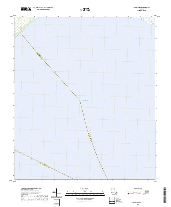
2024 Covington SW
St. Tammany Parish, LA
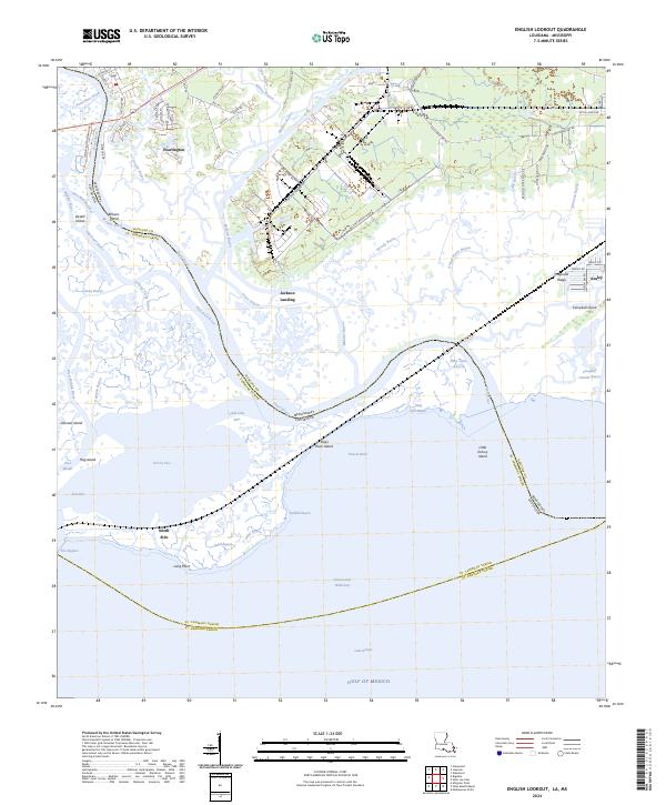
2024 English Lookout
St. Tammany Parish, LA
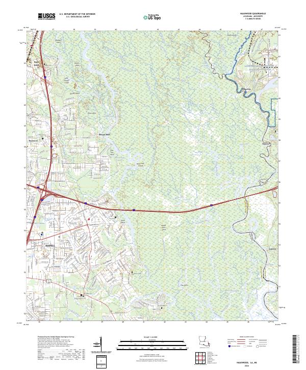
2024 Haaswood
St. Tammany Parish, LA
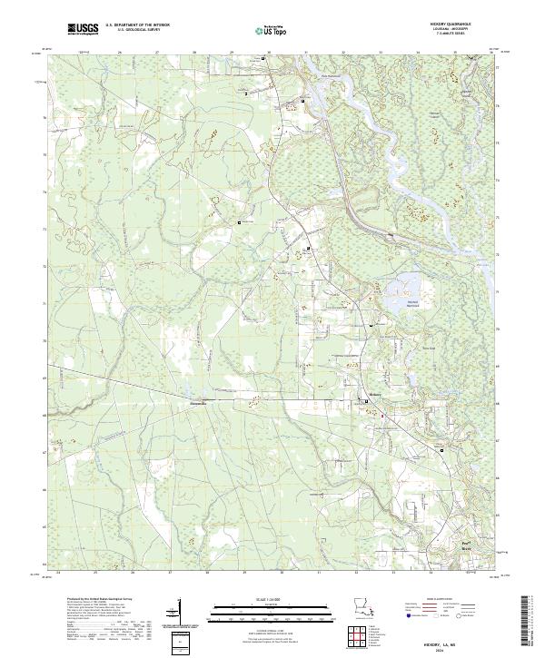
2024 Hickory
St. Tammany Parish, LA
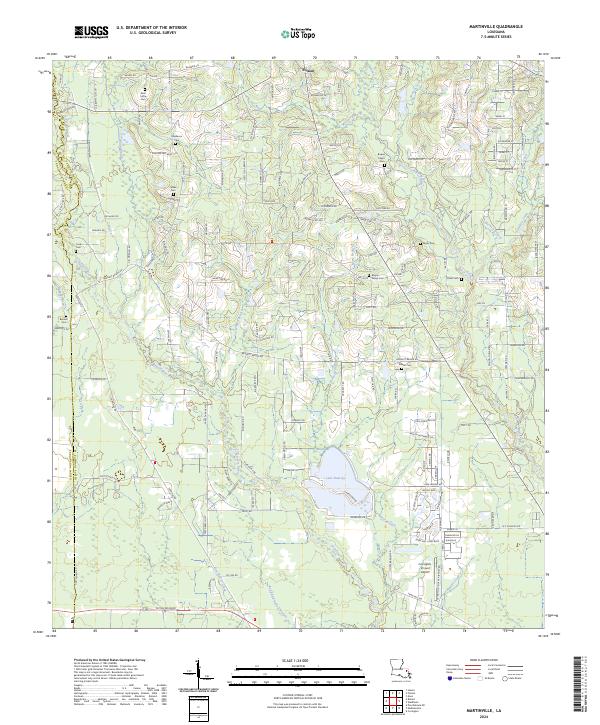
2024 Martinville
St. Tammany Parish, LA
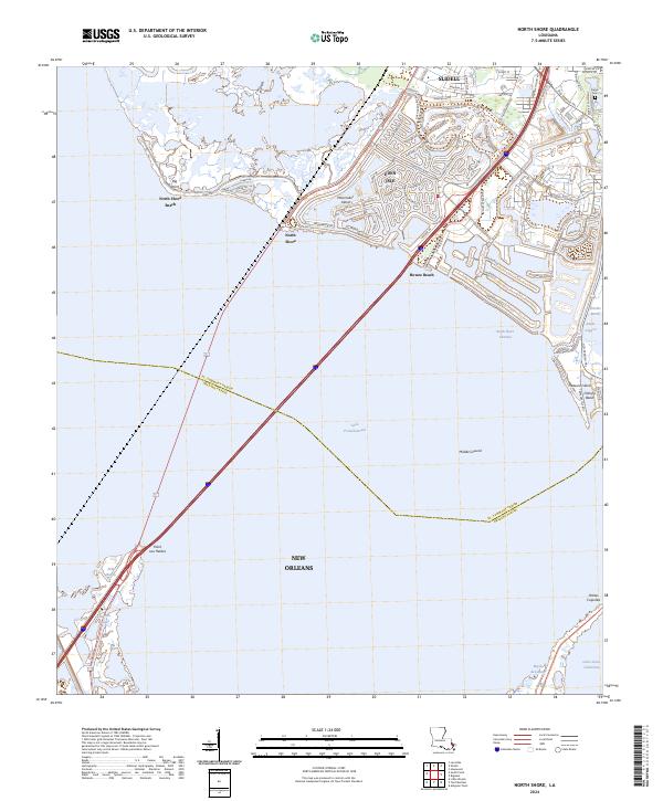
2024 North Shore
St. Tammany Parish, LA
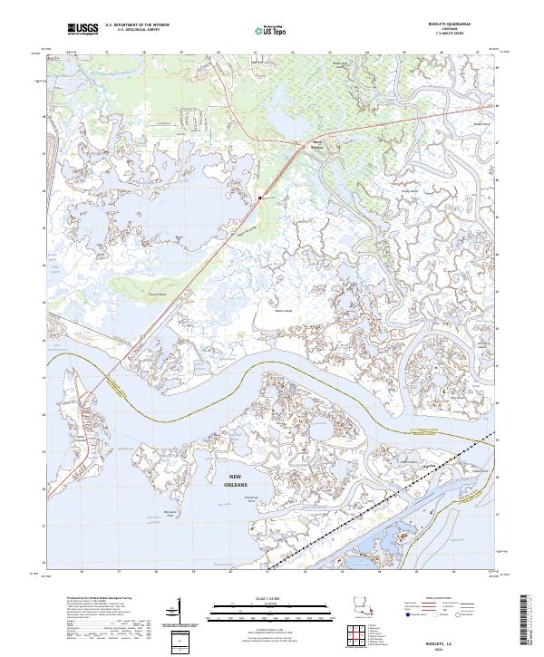
2024 Rigolets
St. Tammany Parish, LA
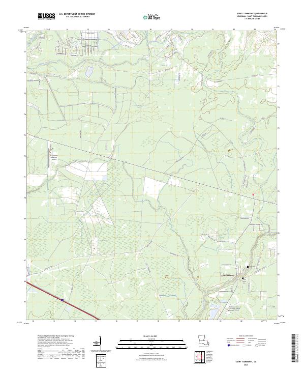
2024 Saint Tammany
St. Tammany Parish, LA
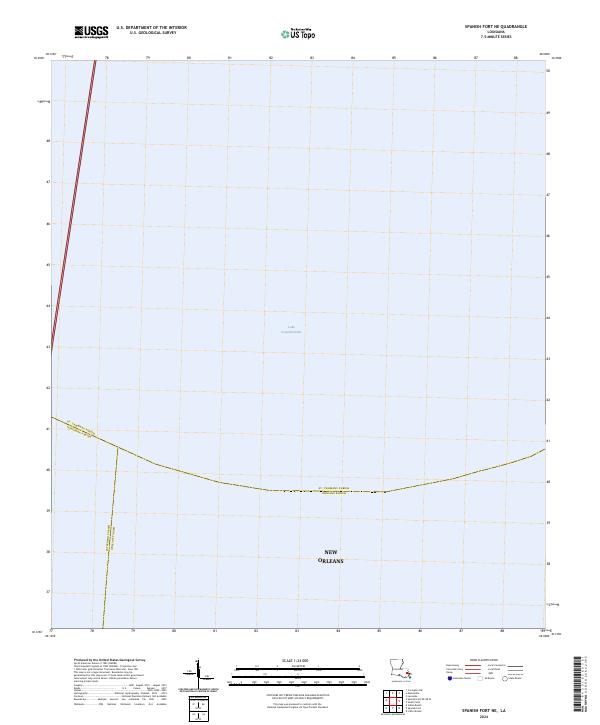
2024 Spanish Fort NE
St. Tammany Parish, LA
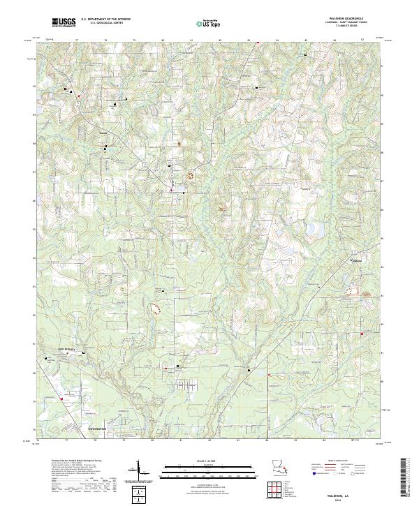
2024 Waldheim
St. Tammany Parish, LA