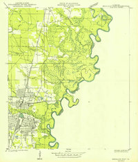
1959 Map of Bogalusa
USGS Topo · Published 1960About this map
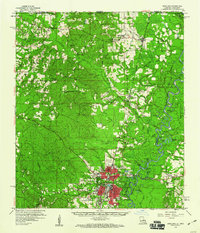
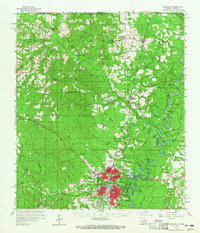
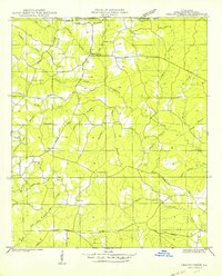
Bogalusa anchors this 1959 survey of the Washington Parish and Mississippi state line region, shown at a time of significant industrial and transportation activity. The city layout is highly detailed, featuring the Bogalusa Airport, the Illinois Central railroad lines, and local media landmarks like Radio Station WIKC and Radio Tower WBOX. Beyond the city center, the landscape is defined by the winding course of the Pearl River and its numerous oxbow lakes, such as Horseshoe Lake and Old Jail Lake. This watery geography shaped early river access at points like Richardson Landing. Rural life is well-documented through a dense network of family-named landmarks and community centers, including Mitchells Chapel, Munroe Creek Ch, and the Buck Branch School. The presence of several Gravel Pits and lookouts like the Sheridan Lookout Tower reflect the area's mid-century reliance on timber and extractive industries.
Find a feature on this map
103 named features on this map. Tap any name to fly to it.
Don’t see what you’re looking for? This feature index may not catch every label — zoom into the map to look around manually.
Map Details
Editions of this 1959 Bogalusa Map
2 editions found
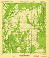
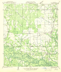
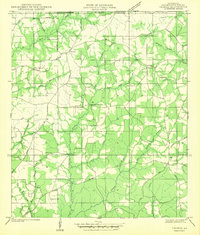
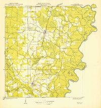
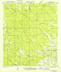
Other maps of this area

1939 · Zona
USGS Topo · 1:31,680
1942 · Thigpen
USGS Topo · 1:31,680
1942 · Rio
USGS Topo · 1:31,680

1942 · Pools Bluff
USGS Topo · 1:31,680
1942 · Thomas
USGS Topo · 1:31,680
1949 · Bogalusa East
USGS Topo · 1:31,680
1949 · Angie
USGS Topo · 1:31,680
1949 · Bogalusa West
USGS Topo · 1:31,680
1950 · Crains Creek
USGS Topo · 1:31,680

1953 · Hattiesburg
USGS Topo · 1:250,000