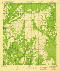
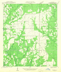
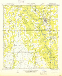
1942 Map of Thigpen
USGS Topo · Published 1942About this map
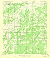
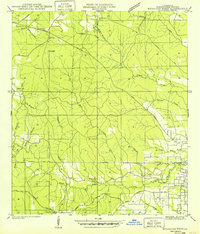
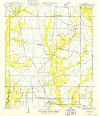
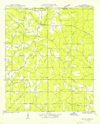
Bogue Chitto and its surrounding wetlands dominate the southern reaches of this early 1940s survey in Washington Parish. The landscape is a network of small family settlements and homesteads, evidenced by the high density of rural burial grounds such as Smith Cem, Jenkins Cem, and Letchworth Cem. Near the northern border, Sheridan Store serves as a local landmark in an area defined by winding waterways like Bogue Lusa Creek and Thigpen Creek.
Find a feature on this map
32 named features on this map. Tap any name to fly to it.
Don’t see what you’re looking for? This feature index may not catch every label — zoom into the map to look around manually.
Map Details
Editions of this 1942 Thigpen Map
2 editions found
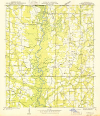
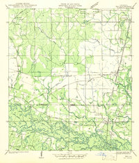
Other maps of this area

1939 · Zona
USGS Topo · 1:31,680
1939 · Clifton
USGS Topo · 1:31,680
1942 · Rio
USGS Topo · 1:31,680
1942 · Thomas
USGS Topo · 1:31,680
1949 · Bogalusa West
USGS Topo · 1:31,680
1950 · Folsom
USGS Topo · 1:31,680
1950 · Crains Creek
USGS Topo · 1:31,680
1950 · Franklinton
USGS Topo · 1:31,680

1953 · Mobile
USGS Topo · 1:250,000
1954 · Folsom
USGS Topo · 1:62,500