
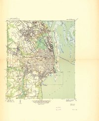
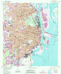
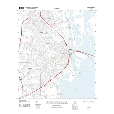
1963 Map of Mobile
USGS Topo · Published 1963About this map
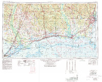
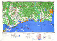
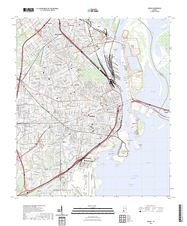
The Gulf Coast from New Orleans to Mobile reveals an intricate coastal economy and landscape in the early 1960s. Along the shoreline, established ports and naval installations like Brookley AFB and the U S Naval Magazine define the strategic character of the region. The map tracks the vital maritime arteries of the Mobile Ship Channel and Gulfport Channel, which connect industrial centers such as Pascagoula and Biloxi to the Gulf of Mexico.
Find a feature on this map
141 named features on this map. Tap any name to fly to it.
Don’t see what you’re looking for? This feature index may not catch every label — zoom into the map to look around manually.
Map Details
Editions of this 1963 Mobile Map
This is the sole edition of this map. No revisions or reprints were ever made.
Historical Maps of New Orleans Through Time
19 maps found

1922 Mobile
Mobile County, AL
1940 Mobile
Mobile County, AL
1940 Mobile
Mobile County, AL
1943 Mobile
Mobile County, AL
1944 Mobile
Mobile County, AL
1953 Mobile
Mobile County, AL
1953 Mobile
Mobile County, AL

1957 Mobile
Mobile County, AL

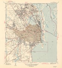
1960 Mobile
Mobile County, AL
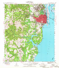
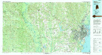
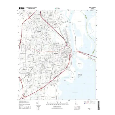
1963 Mobile
Mobile County, AL

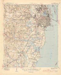
1965 Mobile
Mobile County, AL
1984 Mobile
Mobile County, AL

1984 Mobile
Mobile County, AL
1994 Mobile
Mobile County, AL
2011 Mobile
Mobile County, AL
2014 Mobile
Mobile County, AL
2018 Mobile
Mobile County, AL
2020 Mobile
Mobile County, AL
2024 Mobile
Mobile County, AL