
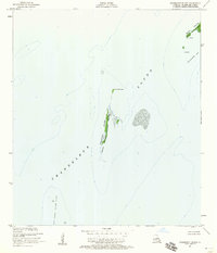
1893 Map of Chandeleur
USGS Topo · Published 1893About this map
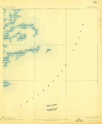
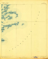
Chandeleur Sound dominates the eastern landscape of this coastal survey, where the shifting sands of the Louisiana barrier islands are captured during a late-19th-century mapping project. Compiled from the work of the U. S. Coast and Geodetic Survey, the map documents the fragile geography of the outer marsh and island systems. Significant landforms like Mitchell Key and Martin Island appear alongside smaller features such as Barrel Key, illustrating the coastal morphology before decades of erosion and tropical storms reshaped the archipelago. Navigational channels like Elephant Point Pass and Keelboat Pass provide essential markers for the maritime history of St. Bernard, while Pt. Comfort and Live Oak Bayou denote specific landmarks in this low-lying environment where the entire area is noted as being less than five feet above sea level.
Find a feature on this map
9 named features on this map. Tap any name to fly to it.
Don’t see what you’re looking for? This feature index may not catch every label — zoom into the map to look around manually.
Map Details
Editions of this 1893 Chandeleur Map
3 editions found
Other maps of this area

1893 · Cat Island
USGS Topo · 1:62,500

1893 · La Fortuna
USGS Topo · 1:62,500

1893 · Toulme
USGS Topo · 1:62,500

1895 · Bodreau
USGS Topo · 1:62,500

1935 · Morgan Harbor
USGS Topo · 1:31,680

1935 · Mitchell Keys
USGS Topo · 1:31,680

1946 · Oak Mound Bayou
USGS Topo · 1:31,680
1949 · Drum Bay
USGS Topo · 1:31,680
1949 · Door Point
USGS Topo · 1:31,680
1951 · Freemason Island
USGS Topo · 1:24,000