
1893 Map of La Fortuna
USGS Topo · Published 1893About this map
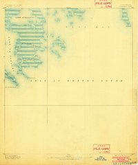
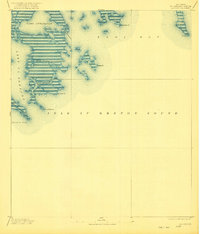
Isle Au Breton Sound and the intricate marshlands of St. Bernard Parish dominate this late-19th-century hydrographic study. The map provides a detailed record of the shifting coastal landscape before significant modern erosion, capturing the winding course of Bayou Terre Aux Boeufs as it meets the Gulf waters. Small inlets and passes, such as Pass Fernandea and Bayou Frenne Picant, define the fragmented islands separating Lake La Fortuna from the open sound.
Find a feature on this map
10 named features on this map. Tap any name to fly to it.
Don’t see what you’re looking for? This feature index may not catch every label — zoom into the map to look around manually.
Map Details
Editions of this 1893 La Fortuna Map
3 editions found
Other maps of this area

1892 · Quarantine
USGS Topo · 1:62,500

1893 · Forts
USGS Topo · 1:62,500

1893 · Chandeleur
USGS Topo · 1:62,500

1893 · Shell Beach
USGS Topo · 1:62,500

1893 · Dime
USGS Topo · 1:62,500

1895 · Bodreau
USGS Topo · 1:62,500

1935 · Taylor Pass
USGS Topo · 1:31,680

1935 · Morgan Harbor
USGS Topo · 1:31,680

1935 · Lake Athanasio
USGS Topo · 1:31,680

1935 · Lake Calebasse
USGS Topo · 1:31,680