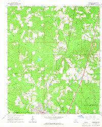
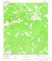
1964 Map of Lumberton
USGS Topo · Published 1968About this map
Lumberton serves as the focal point of this mid-1960s survey, situated where the Southern Railroad corridor meets a network of timberlands and rural homesteads. The landscape is defined by the winding paths of Red Creek and the South Branch Little Black Creek, which carve through the terrain of the De Soto National Forest. This era in Lamar Co and Pearl River Co is characterized by small, dispersed communities and specialized institutions, such as the Bass Memorial Academy and the Houston Bass Memorial Airport.
Find a feature on this map
30 named features on this map. Tap any name to fly to it.
Don’t see what you’re looking for? This feature index may not catch every label — zoom into the map to look around manually.
Map Details
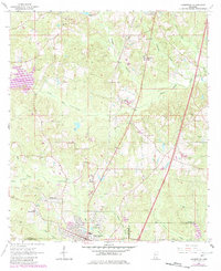
Editions of this 1964 Lumberton Map
2 editions found
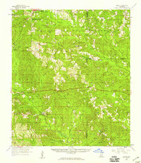
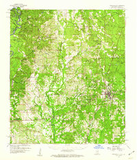
Other maps of this area

1953 · Hattiesburg
USGS Topo · 1:250,000

1953 · Mobile
USGS Topo · 1:250,000

1957 · Mobile
USGS Topo · 1:250,000

1958 · Hattiesburg
USGS Topo · 1:250,000
1958 · Carnes
USGS Topo · 1:62,500
1959 · Poplarville
USGS Topo · 1:62,500

1960 · Mobile
USGS Topo · 1:250,000

1963 · Mobile
USGS Topo · 1:250,000
1963 · Rock Hill
USGS Topo · 1:24,000
1964 · Purvis
USGS Topo · 1:24,000