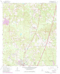
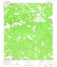
1964 Map of Lumberton
USGS Topo · Published 1982About this map
Lumberton serves as the focal point of this South Mississippi landscape, situated at the junction of the Southern railway and several regional waterways. The map reveals a post-war rural economy characterized by timber and gravel extraction, evidenced by numerous Gravel Pits and the sprawling De Soto National Forest to the south. Educational and religious centers like Bass Memorial Academy and Corinth Ch anchor the surrounding communities, while the development of the Little Black Creek Water Park indicates a mid-century shift toward recreational land use.
Find a feature on this map
42 named features on this map. Tap any name to fly to it.
Don’t see what you’re looking for? This feature index may not catch every label — zoom into the map to look around manually.
Map Details
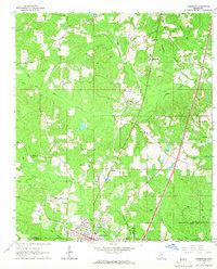
Editions of this 1964 Lumberton Map
2 editions found
Other maps of this area

1953 · Hattiesburg
USGS Topo · 1:250,000

1953 · Mobile
USGS Topo · 1:250,000

1957 · Mobile
USGS Topo · 1:250,000

1958 · Hattiesburg
USGS Topo · 1:250,000
1958 · Carnes
USGS Topo · 1:62,500
1959 · Poplarville
USGS Topo · 1:62,500

1960 · Mobile
USGS Topo · 1:250,000

1963 · Mobile
USGS Topo · 1:250,000
1963 · Rock Hill
USGS Topo · 1:24,000
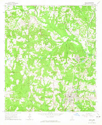
1964 · Purvis
USGS Topo · 1:24,000