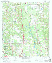
1965 Map of Eastabuchie
USGS Topo · Published 1982About this map
The Leaf River meanders southward through this landscape, marking the boundary between Jones and Forrest counties. The settlement of Eastabuchie serves as a central point along the Southern railroad, while the broader area is characterized by a network of rural communities including Eatonville, Moselle, and Leeville. The terrain is defined by the convergence of several waterways, including Shelton Creek, Thomas Creek, and the Bowie River near Rawls Springs in the southwest corner.
Find a feature on this map
46 named features on this map. Tap any name to fly to it.
Don’t see what you’re looking for? This feature index may not catch every label — zoom into the map to look around manually.
Map Details
Editions of this 1965 Eastabuchie Map
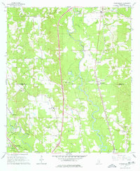
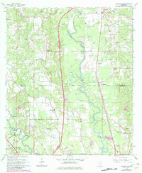
4 editions found
Other maps of this area

1953 · Hattiesburg
USGS Topo · 1:250,000

1958 · Hattiesburg
USGS Topo · 1:250,000

1963 · Barrontown
USGS Topo · 1:24,000

1964 · Carterville
USGS Topo · 1:24,000

1964 · Seminary
USGS Topo · 1:24,000

1964 · Ellisville
USGS Topo · 1:24,000

1964 · Hattiesburg
USGS Topo · 1:24,000

1965 · Hattiesburg SW
USGS Topo · 1:24,000

1965 · Eastabuchie
USGS Topo · 1:24,000

1965 · Moselle
USGS Topo · 1:24,000