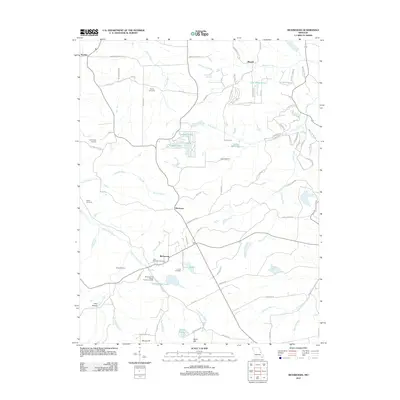
2012 Map of Richwoods
USGS Topo · Published 2012About this map
Richwoods and the surrounding high ground of Franklin and Washington Counties are documented in this 2012 survey, which highlights the area's transition from early industrial roots to modern rural residential patterns. Industrial history is anchored by the Edmonds and Wilcox Furnace and Mill site on the banks of Little Indian Creek. This location reflects the regional importance of mineral processing and milling that once sustained local settlements.
Find a feature on this map
90 named features on this map. Tap any name to fly to it.
Don’t see what you’re looking for? This feature index may not catch every label — zoom into the map to look around manually.
Map Details
Editions of this 2012 Richwoods Map
This is the sole edition of this map. No revisions or reprints were ever made.
Other maps of this area

1901 · De Soto
USGS Topo · 1:125,000

1937 · Fletcher
USGS Topo · 1:24,000

1937 · Tiff
USGS Topo · 1:24,000

1938 · Cedar Hill
USGS Topo · 1:24,000

1938 · Fletcher
USGS Topo · 1:24,000

1939 · Tiff
USGS Topo · 1:24,000

1940 · Cedar Hill
USGS Topo · 1:24,000

1946 · Richwoods
USGS Topo · 1:62,500

1947 · St. Clair
USGS Topo · 1:62,500

1948 · Richwoods
USGS Topo · 1:62,500