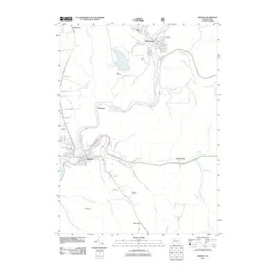
2011 Map of Ridgway
USGS Topo · Published 2011About this map
Ridgway and Johnsonburg anchor this 2011 survey, showing the industrial and residential heart of Elk County along the winding Clarion River. The terrain is defined by the river's deep passage through the plateau, with settlements like Whistletown and Daguscahonda tucked into the narrow valleys where the East Branch Clarion River and Elk Creek meet the main stem. Several historic burial grounds, including Thayer Cemetery and Laurel Hill Cemetery, are clearly marked, providing essential data for genealogists tracking local family histories.
Find a feature on this map
80 named features on this map. Tap any name to fly to it.
Don’t see what you’re looking for? This feature index may not catch every label — zoom into the map to look around manually.
Map Details
Editions of this 2011 Ridgway Map
This is the sole edition of this map. No revisions or reprints were ever made.
Other maps of this area

1934 · Kane
USGS Topo · 1:48,000

1935 · Mt. Jewett
USGS Topo · 1:48,000

1939 · Kane
USGS Topo · 1:62,500

1940 · Hallton
USGS Topo · 1:48,000

1940 · Mt. Jewett
USGS Topo · 1:62,500

1941 · Ridgway
USGS Topo · 1:62,500

1943 · Hallton
USGS Topo · 1:62,500

1944 · Ridgway
USGS Topo · 1:62,500

1957 · Warren
USGS Topo · 1:250,000

1958 · Warren
USGS Topo · 1:250,000