Loading...
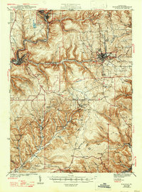
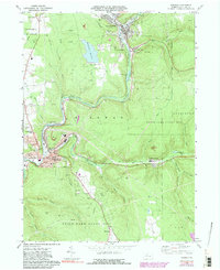
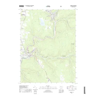
Loading map...1944 Map of Ridgway
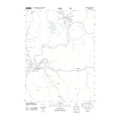
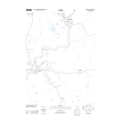
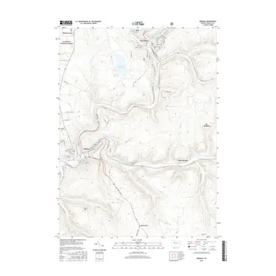
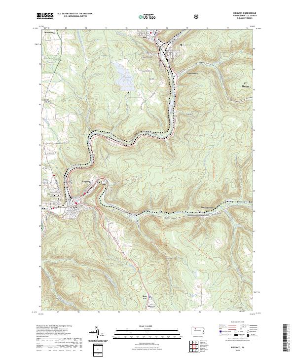
USGS Topo · Published 1947About this map
Industrial nodes and coal-mining hamlets define the landscape of Elk County during the early 1940s. The regional economy is anchored by the crossing of major rail lines, including the Baltimore and Ohio, Pennsylvania, and Erie railroads, which serviced the heavy extraction operations at Dagus Mines, Kyler Mine, and Toby Mine. These corridors connect significant population centers like St. Marys and Ridgway to smaller settlements such as Dagusca-honda and Byrnedale.
Find a feature on this map
76 named features on this map. Tap any name to fly to it.
Don’t see what you’re looking for? This feature index may not catch every label — zoom into the map to look around manually.
Map Details
Date Portrayed1944
Date Published1947
PublisherU.S. Geological Survey
Map TypeTopographic
Scale1:62,500
Physical Dimensions15.4 x 20.7 inches
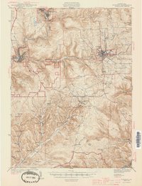
Editions of this 1944 Ridgway Map
3 editions found
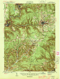
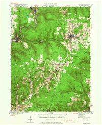
Historical Maps of Saint Marys Through Time
8 maps found
Featured Locations
Source Details
SourceU.S. Geological Survey
CopyrightPublic Domain