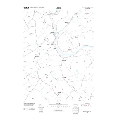
2013 Map of Riegelsville
USGS Topo · Published 2013About this map
Durham Furnace and the industrial remnants of Durham anchor this corridor along the Delaware River, where the borders of Pennsylvania and New Jersey meet. This area is characterized by a high concentration of small, historic crossroads settlements like Riegelsville, Kintnersville, and Finesville that developed around the river's water power and transportation potential. The map documents the complex topography of the region, from the heights of Hexenkopf Hill and Mine Hill to the dramatic Nockamixon Cliffs overlooking the water.
Find a feature on this map
189 named features on this map. Tap any name to fly to it.
Don’t see what you’re looking for? This feature index may not catch every label — zoom into the map to look around manually.
Map Details
Editions of this 2013 Riegelsville Map
This is the sole edition of this map. No revisions or reprints were ever made.
Other maps of this area

1888 · Quakertown
USGS Topo · 1:62,500

1890 · Easton
USGS Topo · 1:62,500

1890 · Doylestown
USGS Topo · 1:62,500

1890 · Quakertown
USGS Topo · 1:62,500

1891 · Easton
USGS Topo · 1:62,500

1891 · Doylestown
USGS Topo · 1:62,500

1894 · Allentown
USGS Topo · 1:62,500

1894 · Quakertown
USGS Topo · 1:62,500

1932 · Easton
USGS Topo · 1:62,500

1939 · Allentown
USGS Topo · 1:62,500