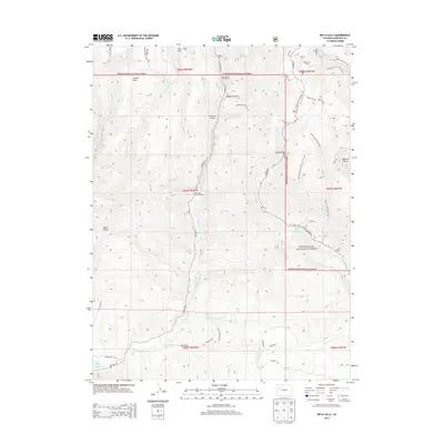
2013 Map of Rifle Falls
USGS Topo · Published 2013About this map
White River National Forest defines the upper elevations of this terrain, where a network of trails and forestry roads serves the high country. The hydrological systems of the region are a focal point, anchored by the Rifle Falls Fish Hatchery and the iconic Rifle Falls. To the south, the Grass Valley Canal and East Rifle Creek demonstrate the complex water management required for the lower valley, terminating at the Rifle Gap Reservoir. This 2013 survey illustrates a landscape of recreational and agricultural utility, from the established Blue Spruce Campground and Spring Cow Camp to the various gulches and mesas. Named features like Coulter Mesa and Beef Draw provide clear geographic reference for local history and resource management in Garfield County, while irrigation infrastructure like the Mansfield Ditch Trail highlights the importance of water movement across this landscape.
Find a feature on this map
49 named features on this map. Tap any name to fly to it.
Don’t see what you’re looking for? This feature index may not catch every label — zoom into the map to look around manually.
Map Details
Editions of this 2013 Rifle Falls Map
This is the sole edition of this map. No revisions or reprints were ever made.
Other maps of this area

1906 · Grand Hogback
USGS Topo · 1:125,000

1910 · Grand Hogback
USGS Topo · 1:125,000

1952 · Horse Mountain
USGS Topo · 1:24,000

1952 · Rifle
USGS Topo · 1:24,000

1957 · Leadville
USGS Topo · 1:250,000

1959 · Leadville
USGS Topo · 1:250,000

1960 · Leadville
USGS Topo · 1:250,000

1962 · Leadville
USGS Topo · 1:250,000

1962 · New Castle
USGS Topo · 1:24,000
1962 · Silt
USGS Topo · 1:24,000