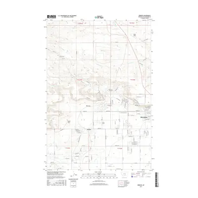
2017 Map of Rimrock
USGS Topo · Published 2017About this map
Rimrock and the expanding northwest reaches of Billings are defined by the dramatic geological formations of the Rimrocks, which divide the higher plains from the developed valleys. This 2017 study illustrates a landscape of modern residential growth meeting traditional ranching and aviation history, evidenced by localized airstrips like Haynes Ranch Airport, Skywagon Ranch Airport, and Wilcox Airport. The drainage network includes N Fork Alkali Cr and S Fork Alkali Cr, which wind through the northern sections, while Phipps Park serves as a significant recreational anchor within the terrain. Civil engineering is highlighted by the Baseline and irrigation features such as Cove Ditch, reflecting the historical and ongoing management of water in this part of Yellowstone County. Street names like Molt Rd and Alkali Creek Rd trace the path of earlier rural routes now integrated into the suburban fabric.
Find a feature on this map
106 named features on this map. Tap any name to fly to it.
Don’t see what you’re looking for? This feature index may not catch every label — zoom into the map to look around manually.
Map Details
Editions of this 2017 Rimrock Map
This is the sole edition of this map. No revisions or reprints were ever made.
Other maps of this area

1954 · Billings
USGS Topo · 1:250,000

1956 · Comanche
USGS Topo · 1:24,000

1956 · Acton
USGS Topo · 1:24,000

1956 · Hickson Ranch
USGS Topo · 1:24,000

1956 · Rimrock
USGS Topo · 1:24,000

1956 · Two Pine School
USGS Topo · 1:24,000

1956 · Laurel
USGS Topo · 1:24,000

1956 · Yegen
USGS Topo · 1:24,000

1956 · Mossmain
USGS Topo · 1:24,000

1957 · Billings
USGS Topo · 1:250,000