
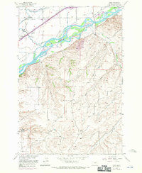
1956 Map of Yegen
USGS Topo · Published 1958About this map
The Yellowstone River cuts a wide, braided path through this Montana landscape, defining the transition between the irrigated valley floor and the dissected uplands to the south. North of the river, the mid-1950s infrastructure of Yegen and the Northern Pacific railroad is supported by an intricate network of water management, including the Hesper Ditch, Eagle Ditch, and Canyon Creek. This area served as an educational and spiritual hub, home to the Montana Bible Institute and schools like Elysian Sch.
Find a feature on this map
26 named features on this map. Tap any name to fly to it.
Don’t see what you’re looking for? This feature index may not catch every label — zoom into the map to look around manually.
Map Details
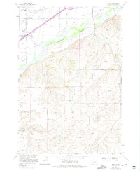
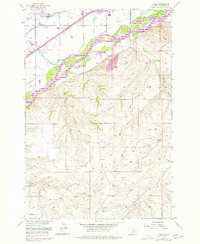
Editions of this 1956 Yegen Map
4 editions found
Other maps of this area

1893 · Huntley
USGS Topo · 1:125,000

1954 · Billings
USGS Topo · 1:250,000

1956 · Rimrock
USGS Topo · 1:24,000

1956 · Billings East
USGS Topo · 1:24,000

1956 · Mossmain
USGS Topo · 1:24,000

1957 · Billings
USGS Topo · 1:250,000

1957 · Billings West
USGS Topo · 1:24,000

1958 · Billings
USGS Topo · 1:250,000
1967 · Mossmain SW
USGS Topo · 1:24,000

1967 · Soda Springs NW
USGS Topo · 1:24,000