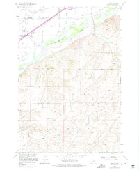
1956 Map of Yegen
USGS Topo · Published 1975About this map
The Yellowstone River cuts through this landscape, defining the boundary between the irrigated lowlands and the southern coulees. North of the river, an intricate network of irrigation channels like Eagle Ditch and Suburban Ditch supports agricultural settlements near Hogans and the Burlington Northern railroad siding at Yegen. This area is also a hub for early telecommunications, featuring the Radio Station (KGHL) and Radio Towers (KOOK) situated among the bottomlands.
Find a feature on this map
30 named features on this map. Tap any name to fly to it.
Don’t see what you’re looking for? This feature index may not catch every label — zoom into the map to look around manually.
Map Details
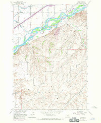
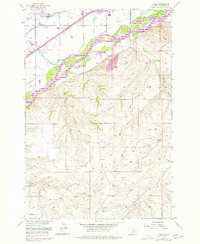
Editions of this 1956 Yegen Map
4 editions found
Other maps of this area

1893 · Huntley
USGS Topo · 1:125,000

1954 · Billings
USGS Topo · 1:250,000

1956 · Rimrock
USGS Topo · 1:24,000

1956 · Yegen
USGS Topo · 1:24,000

1956 · Billings East
USGS Topo · 1:24,000

1956 · Mossmain
USGS Topo · 1:24,000

1957 · Billings
USGS Topo · 1:250,000

1957 · Billings West
USGS Topo · 1:24,000

1958 · Billings
USGS Topo · 1:250,000
1967 · Mossmain SW
USGS Topo · 1:24,000