
1956 Map of Billings East
USGS Topo · Published 1958About this map
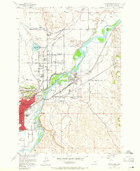
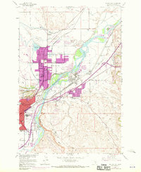
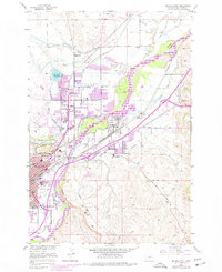
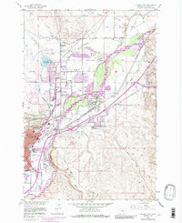
Yellowstone River defines the industrial and geographic character of this Montana landscape as it looked in the mid-1950s. The city of Billings Bench and its surrounding agricultural districts rely on an extensive network of irrigation ditches and canals, including the Billings Bench system, to transform the arid terrain north of the river. The area's burgeoning industrial sector is evident in the sprawling Oil Refinery, numerous Oil Tanks, and the complex rail infrastructure of the Northern Pacific railroad. Historic local landmarks such as Boothill Cem and Sacrifice Cliff provide a glimpse into the region's earlier heritage, while several rural schools like Pioneer Sch and Hawthorn Sch mark the growth of outlying neighborhoods. The map captures the transition from open range and islands like Cherry Island to a modernizing urban center anchored by the Rimrocks formation.
Find a feature on this map
44 named features on this map. Tap any name to fly to it.
Don’t see what you’re looking for? This feature index may not catch every label — zoom into the map to look around manually.
Map Details
Editions of this 1956 Billings East Map
5 editions found
Other maps of this area

1893 · Huntley
USGS Topo · 1:125,000

1954 · Billings
USGS Topo · 1:250,000

1956 · Rattlesnake Butte
USGS Topo · 1:24,000

1956 · Hickson Ranch
USGS Topo · 1:24,000

1956 · Huntley
USGS Topo · 1:24,000

1956 · Yegen
USGS Topo · 1:24,000

1957 · Billings
USGS Topo · 1:250,000

1957 · Billings West
USGS Topo · 1:24,000

1958 · Billings
USGS Topo · 1:250,000

1967 · Soda Springs NW
USGS Topo · 1:24,000