
1957 Map of Billings West
USGS Topo · Published 1958About this map
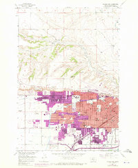
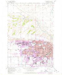
The Rimrocks sandstone cliffs dramatically divide this mid-century landscape, separating the developing urban core of Billings from the northern plateau. High above the city, the Billings Municipal Airport and the Hickson Ranch occupy the windswept heights, while the valley floor shows a complex network of water management including the BBWA Canal, Cove Ditch, and Big Ditch. This era reflects a significant period of institutional growth, evidenced by the established campuses of Rocky Mountain College and Eastern Montana College, alongside specialized facilities like the Naval Reserve Armory.
Find a feature on this map
82 named features on this map. Tap any name to fly to it.
Don’t see what you’re looking for? This feature index may not catch every label — zoom into the map to look around manually.
Map Details
Editions of this 1957 Billings West Map
3 editions found
Other maps of this area

1893 · Huntley
USGS Topo · 1:125,000

1954 · Billings
USGS Topo · 1:250,000

1956 · Rattlesnake Butte
USGS Topo · 1:24,000

1956 · Acton
USGS Topo · 1:24,000

1956 · Hickson Ranch
USGS Topo · 1:24,000

1956 · Rimrock
USGS Topo · 1:24,000

1956 · Yegen
USGS Topo · 1:24,000

1956 · Billings East
USGS Topo · 1:24,000

1956 · Mossmain
USGS Topo · 1:24,000

1957 · Billings
USGS Topo · 1:250,000