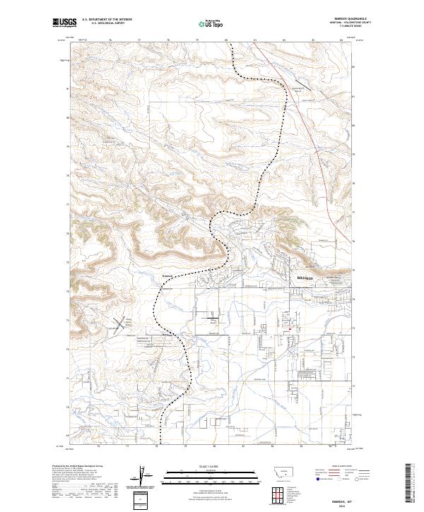
2024 Map of Rimrock
USGS Topo · Published 2024About this map
Rimrock and the northwestern edges of Billings occupy a landscape defined by dramatic topographical shifts and a complex network of man-made waterways. The presence of the Rimrocks formations overlooks a transition from the higher plateaus in the north, where North Fork Alkali Creek and South Fork Alkali Creek drain toward the valley, to the irrigated lowlands. The importance of water management in this Montana environment is visible through the extensive reach of the High Ditch, Big Ditch, and Snow Ditch, which parallel the natural path of Hogans Slough. Rural aviation is a distinct characteristic of this era, with several private airfields including Haynes Ranch Airport, Wilcox Airport, and Husky Ranch Airport dotting the outskirts of the growing city. Residential expansion is noted by the cluster of golf-themed street names like Sam Snead Trl and Bobby Jones Blvd near the city limits.
Find a feature on this map
115 named features on this map. Tap any name to fly to it.
Don’t see what you’re looking for? This feature index may not catch every label — zoom into the map to look around manually.
Map Details
Editions of this 2024 Rimrock Map
This is the sole edition of this map. No revisions or reprints were ever made.
Other maps of this area

1954 · Billings
USGS Topo · 1:250,000

1956 · Comanche
USGS Topo · 1:24,000

1956 · Acton
USGS Topo · 1:24,000

1956 · Hickson Ranch
USGS Topo · 1:24,000

1956 · Rimrock
USGS Topo · 1:24,000

1956 · Two Pine School
USGS Topo · 1:24,000

1956 · Laurel
USGS Topo · 1:24,000

1956 · Yegen
USGS Topo · 1:24,000

1956 · Mossmain
USGS Topo · 1:24,000

1957 · Billings
USGS Topo · 1:250,000