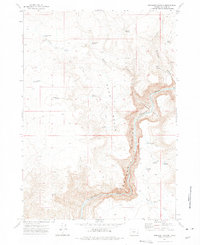
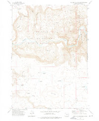
1972 Map of Rinehart Canyon
USGS Topo · Published 1975About this map
Rinehart Ranch serves as a lone human outpost in this high desert landscape of southeastern Oregon, situated near the head of Rinehart Canyon. The geography is defined by a sophisticated network of water management, evidenced by numerous small-scale reservoirs like Stanfield Reservoir, Jackson Creek Reservoir, and Gallagher Res that dot the drainage basins. These features suggest a landscape dedicated to livestock grazing, where every seasonal flow is captured for use.
Find a feature on this map
32 named features on this map. Tap any name to fly to it.
Don’t see what you’re looking for? This feature index may not catch every label — zoom into the map to look around manually.
Map Details
Editions of this 1972 Rinehart Canyon Map
This is the sole edition of this map. No revisions or reprints were ever made.
Other maps of this area

1955 · Boise
USGS Topo · 1:250,000

1958 · Boise
USGS Topo · 1:250,000

1962 · Boise
USGS Topo · 1:250,000

1972 · Cedar Mountain
USGS Topo · 1:24,000
1972 · Wrangle Butte
USGS Topo · 1:24,000
1972 · Lambert Rocks
USGS Topo · 1:24,000

1972 · Burnt Flat
USGS Topo · 1:24,000

1972 · Big Mud Flat
USGS Topo · 1:24,000
1972 · Sacramento Butte
USGS Topo · 1:24,000
1972 · The Hole In The Ground
USGS Topo · 1:24,000