
1972 Map of Burnt Flat
USGS Topo · Published 1975About this map
Fangollano stands as a focal point for researchers in this 1970s survey of Malheur County, marking a site of former activity in a high-desert landscape defined by water management and ranching. The terrain transitions from the elevations of Turnbull Mountain and the winding Road Canyon in the west down toward the broad expanses of Burnt Flat, Little Mud Flat, and the northern edge of Barren Valley.
Find a feature on this map
37 named features on this map. Tap any name to fly to it.
Don’t see what you’re looking for? This feature index may not catch every label — zoom into the map to look around manually.
Map Details
Editions of this 1972 Burnt Flat Map
This is the sole edition of this map. No revisions or reprints were ever made.
Other maps of this area

1955 · Boise
USGS Topo · 1:250,000

1958 · Boise
USGS Topo · 1:250,000

1962 · Boise
USGS Topo · 1:250,000

1972 · Cedar Mountain
USGS Topo · 1:24,000

1972 · Crowley
USGS Topo · 1:24,000
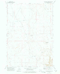
1972 · Sacramento Butte
USGS Topo · 1:24,000
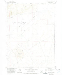
1972 · Mustang Butte
USGS Topo · 1:24,000
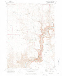
1972 · Rinehart Canyon
USGS Topo · 1:24,000

1972 · Copeland Reservoirs
USGS Topo · 1:24,000
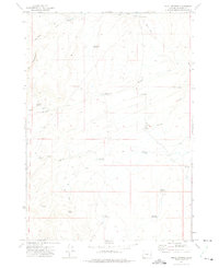
1972 · Skull Springs
USGS Topo · 1:24,000