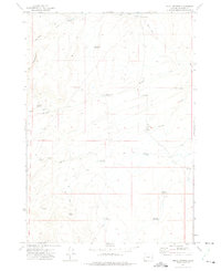
1972 Map of Skull Springs
USGS Topo · Published 1975About this map
Skull Springs serves as a focal point for this high-desert landscape in Malheur County, where the management of water is the primary footprint on the land. During the early 1970s, the terrain was characterized by a dense network of man-made catchments including Littlefield Reservoir, Field Creek Reservoir, and Wildcat Creek Reservoir. These features, along with named springs like Cold Spring and Green Spring, highlight the essential infrastructure for ranching and resource management in this arid region.
Find a feature on this map
22 named features on this map. Tap any name to fly to it.
Don’t see what you’re looking for? This feature index may not catch every label — zoom into the map to look around manually.
Map Details
Editions of this 1972 Skull Springs Map
This is the sole edition of this map. No revisions or reprints were ever made.
Other maps of this area

1955 · Boise
USGS Topo · 1:250,000

1958 · Boise
USGS Topo · 1:250,000

1962 · Boise
USGS Topo · 1:250,000

1972 · Cedar Mountain
USGS Topo · 1:24,000

1972 · Burnt Flat
USGS Topo · 1:24,000

1972 · Shumway Reservoir
USGS Topo · 1:24,000

1972 · Alder Creek
USGS Topo · 1:24,000

1972 · Crowley
USGS Topo · 1:24,000

1972 · Rufino Butte
USGS Topo · 1:24,000

1972 · Copeland Reservoirs
USGS Topo · 1:24,000