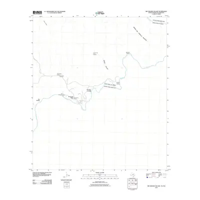
2010 Map of Rio Grande Village
USGS Topo · Published 2010About this map
Rio Grande Village sits along the international boundary where the desert landscape meets the river's bend. This 2010 survey records a transition between the United States and Mexico, marked by the prominent Boquillas Crossing. Evidence of industrial history is found in the northern terrain, where the Ore Terminal Aerial Tramway once operated near Ernst Basin.
Find a feature on this map
16 named features on this map. Tap any name to fly to it.
Don’t see what you’re looking for? This feature index may not catch every label — zoom into the map to look around manually.
Map Details
Editions of this 2010 Rio Grande Village Map
This is the sole edition of this map. No revisions or reprints were ever made.
Other maps of this area

1903 · Chisos Mountains
USGS Topo · 1:125,000

1905 · Chisos Mountains
USGS Topo · 1:125,000

1930 · Stillwell Creek
USGS Topo · 1:62,500

1959 · Emory Peak
USGS Topo · 1:250,000

1965 · Emory Peak
USGS Topo · 1:250,000
1970 · Solis
USGS Topo · 1:24,000
1971 · Ernst Valley
USGS Topo · 1:24,000
1971 · Boquillas
USGS Topo · 1:24,000
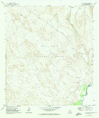
1971 · San Vicente
USGS Topo · 1:24,000
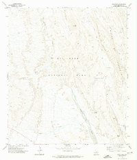
1971 · Roys Peak
USGS Topo · 1:24,000