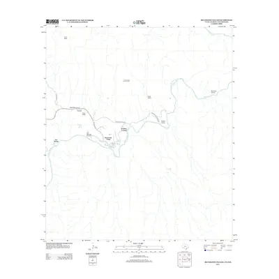
2013 Map of Rio Grande Village
USGS Topo · Published 2013About this map
The Rio Grande defines the international border and the core geography of this desert landscape, where the Rio Grande Village settlement serves as a primary point of human activity. This area is defined by sharp topographic shifts, from the depths of Boquillas Canyon and Hot Springs Canyon to the heights of Ernst Ridge. Evidence of the region's industrial and transit history is preserved in features like the Ore Terminal Aerial Tramway and the winding Old Ore Rd, which navigate the difficult terrain near the river.
Find a feature on this map
19 named features on this map. Tap any name to fly to it.
Don’t see what you’re looking for? This feature index may not catch every label — zoom into the map to look around manually.
Map Details
Editions of this 2013 Rio Grande Village Map
This is the sole edition of this map. No revisions or reprints were ever made.
Other maps of this area

1903 · Chisos Mountains
USGS Topo · 1:125,000

1905 · Chisos Mountains
USGS Topo · 1:125,000

1930 · Stillwell Creek
USGS Topo · 1:62,500

1959 · Emory Peak
USGS Topo · 1:250,000

1965 · Emory Peak
USGS Topo · 1:250,000
1970 · Solis
USGS Topo · 1:24,000
1971 · Ernst Valley
USGS Topo · 1:24,000
1971 · Boquillas
USGS Topo · 1:24,000
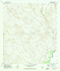
1971 · San Vicente
USGS Topo · 1:24,000
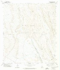
1971 · Roys Peak
USGS Topo · 1:24,000