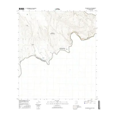
2016 Map of Rio Grande Village
USGS Topo · Published 2016About this map
Rio Grande Village sits at a critical bend of the Rio Grande, where the river serves as the international boundary between the United States of America and Estados Unidos Mexicanos. This landscape, preserved within Big Bend National Park, is defined by its geothermal features and deep limestone corridors. The map records several vital water sources in this arid environment, including Boquillas Warm Springs, Gambusia Spring, and Hot Springs. To the east, the river carves through the dramatic Boquillas Canyon, while the north is marked by prominent landforms such as Ernst Basin and Cuesta Carlota. Transportation is limited to a few rugged routes like Old Ore Rd and the river crossing at Boquillas Xing, reflecting the isolation of this borderland region.
Find a feature on this map
19 named features on this map. Tap any name to fly to it.
Don’t see what you’re looking for? This feature index may not catch every label — zoom into the map to look around manually.
Map Details
Editions of this 2016 Rio Grande Village Map
This is the sole edition of this map. No revisions or reprints were ever made.
Other maps of this area

1903 · Chisos Mountains
USGS Topo · 1:125,000

1905 · Chisos Mountains
USGS Topo · 1:125,000

1930 · Stillwell Creek
USGS Topo · 1:62,500

1959 · Emory Peak
USGS Topo · 1:250,000

1965 · Emory Peak
USGS Topo · 1:250,000
1970 · Solis
USGS Topo · 1:24,000
1971 · Ernst Valley
USGS Topo · 1:24,000
1971 · Boquillas
USGS Topo · 1:24,000
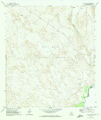
1971 · San Vicente
USGS Topo · 1:24,000
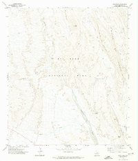
1971 · Roys Peak
USGS Topo · 1:24,000