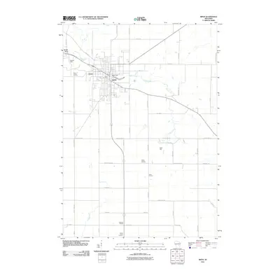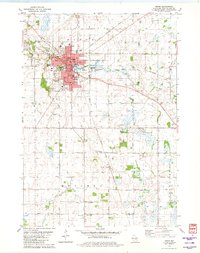
1980 Map of Ripon
USGS Topo · Published 1981About this map
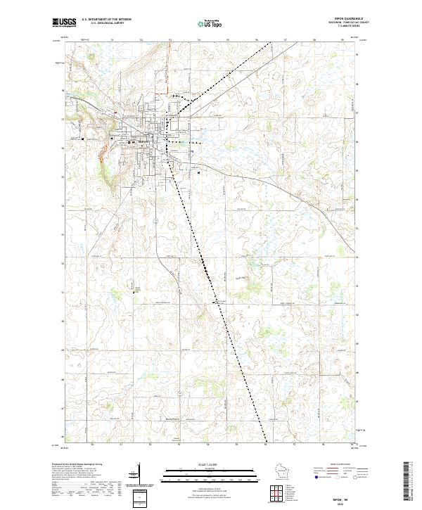
The city of Ripon serves as a significant regional hub on this 1980 survey, characterized by a dense network of educational institutions and specialized infrastructure. The presence of Ripon College and numerous primary schools like Ceresco Sch and Alice Callan Sch underscores the community's civic development. Two major rail lines, the Chicago Milwaukee St Paul and Pacific and the Chicago and North Western, intersect here, highlighting the area's historical reliance on rail transport for both industry and commerce.
Find a feature on this map
59 named features on this map. Tap any name to fly to it.
Don’t see what you’re looking for? This feature index may not catch every label — zoom into the map to look around manually.
Map Details
Editions of this 1980 Ripon Map
This is the sole edition of this map. No revisions or reprints were ever made.
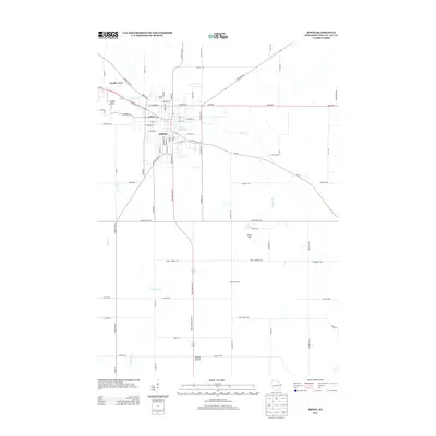
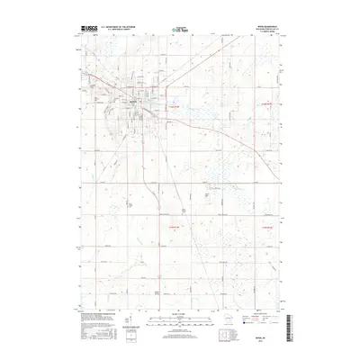
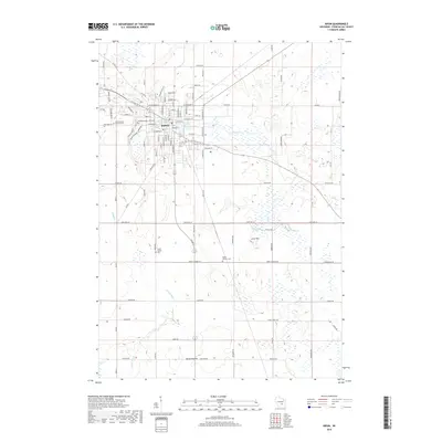
Historical Maps of Ripon Through Time
9 maps found