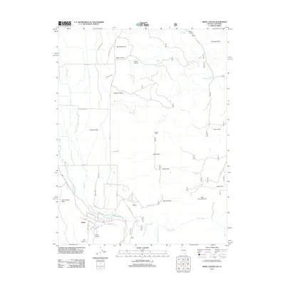
2012 Map of Risue Canyon
USGS Topo · Published 2012About this map
Walker sits at the southern edge of the Antelope Valley, where the West Walker River transitions from its narrow canyon into a wider agricultural basin. This 2012 survey illustrates a landscape deeply managed for water, featuring the Main Canal, Highline Ditch, and several large sloughs such as Big Slough and East Slough. These irrigation works are essential for the valley floor, supporting ranching and settlement alongside the river. To the east, the terrain rises sharply into the Wellington Hills and the slopes of Wild Horse Mountain. High-elevation water sources like Upper Risue Canyon Spring and Indian Spring dot the dry canyons. This map details the complex road network serving rural homesteads, including Burcham Flat Rd and Parkers Ranch Rd, which connect the lowland flats of Indian Valley and Salmon Flat to the higher ridges.
Find a feature on this map
53 named features on this map. Tap any name to fly to it.
Don’t see what you’re looking for? This feature index may not catch every label — zoom into the map to look around manually.
Map Details
Editions of this 2012 Risue Canyon Map
This is the sole edition of this map. No revisions or reprints were ever made.
Other maps of this area

1889 · Markleeville
USGS Topo · 1:125,000

1891 · Markleeville
USGS Topo · 1:125,000

1891 · Wellington
USGS Topo · 1:125,000

1893 · Markleeville
USGS Topo · 1:125,000

1893 · Wellington
USGS Topo · 1:125,000

1896 · Dardanelles
USGS Topo · 1:125,000

1898 · Dardanelles
USGS Topo · 1:125,000

1909 · Bridgeport
USGS Topo · 1:125,000

1911 · Bridgeport
USGS Topo · 1:125,000

1920 · Bridgeport
USGS Topo · 1:125,000