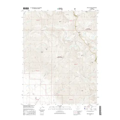
2016 Map of Rito Alto Peak
USGS Topo · Published 2016About this map
Rito Alto Peak stands at the heart of this high-altitude landscape, where the boundary between Rio Grande National Forest and San Isabel National Forest follows the crest of the Sangre de Cristo Mountains. This 2016 survey documents a dense network of alpine trails and high-mountain basins, reflecting a region defined by recreational access and protected wilderness. Significant water features like S Crestone Lake, Cherry Lake, and San Isabel Lake are scattered throughout the peaks, feeding various forks of San Isabel Cr and N Fork Crestone Cr. The presence of Hermit Pass and Hermit Peak suggests the historical pathways used to traverse these steep ridges. Down in the lower elevations, drainage features such as Dimick Gulch and Dry Gulch indicate the transition toward the valley floor, while named trails like the Elaine Trail and Comanche Trail provide context for modern land management and historical movement through the range.
Find a feature on this map
57 named features on this map. Tap any name to fly to it.
Don’t see what you’re looking for? This feature index may not catch every label — zoom into the map to look around manually.
Map Details
Editions of this 2016 Rito Alto Peak Map
This is the sole edition of this map. No revisions or reprints were ever made.
Other maps of this area

1950 · Valley View Hot Springs
USGS Topo · 1:24,000

1954 · Trinidad
USGS Topo · 1:250,000

1954 · Pueblo
USGS Topo · 1:250,000

1955 · Trinidad
USGS Topo · 1:250,000

1957 · Pueblo
USGS Topo · 1:250,000

1958 · Trinidad
USGS Topo · 1:250,000

1958 · Pueblo
USGS Topo · 1:250,000

1958 · Beckwith Mountain
USGS Topo · 1:24,000

1959 · Trinidad
USGS Topo · 1:250,000

1959 · Electric Peak
USGS Topo · 1:62,500