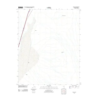
2012 Map of Roach
USGS Topo · Published 2012About this map
Roach Lake dominates this arid landscape in Clark County, serving as a focal point for the surrounding desert topography. The eastern terrain is defined by the elevation of Sheep Mountain and the crossing at Beer Bottle Pass, while the western edge is marked by a transportation corridor following the Interstate and rail line. Several named sites cluster along this corridor, including Roach, Borax, and Bills, which reflect the historic rail-and-resource settlements of the Mojave. This 2012 survey illustrates the relationship between the flat expanse of the dry lake bed and the surrounding mountain passes, capturing the minimal but critical infrastructure that supports travel and industry across this high-desert region.
Find a feature on this map
6 named features on this map. Tap any name to fly to it.
Don’t see what you’re looking for? This feature index may not catch every label — zoom into the map to look around manually.
Map Details
Editions of this 2012 Roach Map
This is the sole edition of this map. No revisions or reprints were ever made.
Other maps of this area

1910 · Ivanpah
USGS Topo · 1:250,000

1912 · Ivanpah
USGS Topo · 1:250,000

1942 · Ivanpah
USGS Topo · 1:250,000

1947 · Kingman
USGS Topo · 1:250,000

1948 · Kingman
USGS Topo · 1:250,000

1954 · Kingman
USGS Topo · 1:250,000

1955 · Kingman
USGS Topo · 1:250,000

1955 · Roach Lake
USGS Topo · 1:62,500

1958 · Kingman
USGS Topo · 1:250,000

1960 · Kingman
USGS Topo · 1:250,000