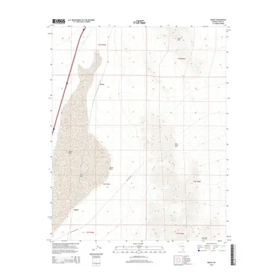
2014 Map of Roach
USGS Topo · Published 2014About this map
Roach Lake dominates this arid landscape at the southern edge of Clark County, sitting within the broad Ivanpah Valley. This 2014 survey documents the isolated desert settlements of Roach and Borax, which lie along the transportation corridor that follows the valley floor. To the east, the terrain rises sharply into the high ridges of the Lucy Gray Mountains and Sheep Mtn, creating a dramatic topographical contrast with the flat dry lake bed. The map details the primitive crossings and natural gaps through these ranges, including McCullough Pass and the uniquely named Beer Bottle Pass. This portion of the Mojave Desert remains largely defined by its natural topography and early rail-adjacent outposts, providing a clear record of the region's sparse infrastructure and physical geography.
Find a feature on this map
16 named features on this map. Tap any name to fly to it.
Don’t see what you’re looking for? This feature index may not catch every label — zoom into the map to look around manually.
Map Details
Editions of this 2014 Roach Map
This is the sole edition of this map. No revisions or reprints were ever made.
Other maps of this area

1910 · Ivanpah
USGS Topo · 1:250,000

1912 · Ivanpah
USGS Topo · 1:250,000

1942 · Ivanpah
USGS Topo · 1:250,000

1947 · Kingman
USGS Topo · 1:250,000

1948 · Kingman
USGS Topo · 1:250,000

1954 · Kingman
USGS Topo · 1:250,000

1955 · Kingman
USGS Topo · 1:250,000

1955 · Roach Lake
USGS Topo · 1:62,500

1958 · Kingman
USGS Topo · 1:250,000

1960 · Kingman
USGS Topo · 1:250,000