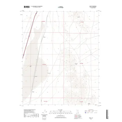
2018 Map of Roach
USGS Topo · Published 2018About this map
Roach Lake dominates the central basin of this Clark County landscape, a dry lake bed situated within the broader expanse of the Ivanpah Valley. This portion of the Mojave Desert is defined by sharp elevation shifts, rising from the flat valley floor toward the high peaks of Sheep Mtn in the north and the Lucy Gray Mountains to the southeast. The map details the proximity of the rail-adjacent settlements of Roach and Borax, which sit along a corridor that has long served as a vital transit artery through the arid desert. In the eastern highlands, the terrain becomes increasingly complex, marked by features such as Beer Bottle Pass, while E Primm Blvd enters the southern reaches, indicating modern infrastructure reaching into this traditional desert crossing.
Find a feature on this map
15 named features on this map. Tap any name to fly to it.
Don’t see what you’re looking for? This feature index may not catch every label — zoom into the map to look around manually.
Map Details
Editions of this 2018 Roach Map
This is the sole edition of this map. No revisions or reprints were ever made.
Other maps of this area

1910 · Ivanpah
USGS Topo · 1:250,000

1912 · Ivanpah
USGS Topo · 1:250,000

1942 · Ivanpah
USGS Topo · 1:250,000

1947 · Kingman
USGS Topo · 1:250,000

1948 · Kingman
USGS Topo · 1:250,000

1954 · Kingman
USGS Topo · 1:250,000

1955 · Kingman
USGS Topo · 1:250,000

1955 · Roach Lake
USGS Topo · 1:62,500

1958 · Kingman
USGS Topo · 1:250,000

1960 · Kingman
USGS Topo · 1:250,000