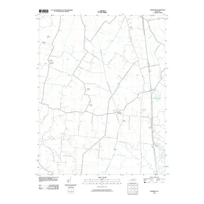
2010 Map of Robards
USGS Topo · Published 2010About this map
Robards sits at the center of this 2010 landscape, where the primary north-south artery of the Breathitt Pkwy intersects with a network of rural roads such as Robards Rockhouse Rd and Pedler McDonald Rd. The geography is defined by its numerous small family and community burial grounds, which offer a dense genealogical record for Henderson County. Notable sites include the Denton Cemetery, Agnew Cemetery, and New Sights Cemetery in the west, while the Hunter Cemetery and Eakins Cemetery are located further south and east.
Find a feature on this map
44 named features on this map. Tap any name to fly to it.
Don’t see what you’re looking for? This feature index may not catch every label — zoom into the map to look around manually.
Map Details
Editions of this 2010 Robards Map
This is the sole edition of this map. No revisions or reprints were ever made.
Other maps of this area

1905 · Newburg
USGS Topo · 1:62,500

1906 · Sebree
USGS Topo · 1:62,500

1908 · Calhoun
USGS Topo · 1:62,500

1914 · Henderson
USGS Topo · 1:48,000

1916 · Henderson
USGS Topo · 1:62,500

1949 · Sebree
USGS Topo · 1:24,000

1949 · Poole
USGS Topo · 1:24,000

1949 · Robards
USGS Topo · 1:24,000

1951 · Dixon
USGS Topo · 1:24,000

1951 · Poole
USGS Topo · 1:24,000