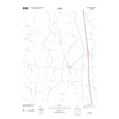
2013 Map of Robards
USGS Topo · Published 2013About this map
Robards serves as the central hub of this Henderson County landscape, situated where the historic grid of Railroad St and 1st St meets the modern transit corridor of the Edward T Breathitt Pennyrile Pkwy. The region is defined by an intricate drainage system including Canoe Cr, Groves Cr, and Grane Cr, which carve through a network of rural roads often bearing the names of early resident families. Local industry and recreation are evident in features such as Coal Mine Rd near the town center and Sportsman Lake to the east. The map captures a moment of transition where traditional Kentucky farm roads like Busby Station Rd and Cherry Hill RD intersect with modern infrastructure, preserving a record of the area's development and land use patterns.
Find a feature on this map
60 named features on this map. Tap any name to fly to it.
Don’t see what you’re looking for? This feature index may not catch every label — zoom into the map to look around manually.
Map Details
Editions of this 2013 Robards Map
This is the sole edition of this map. No revisions or reprints were ever made.
Other maps of this area

1905 · Newburg
USGS Topo · 1:62,500

1906 · Sebree
USGS Topo · 1:62,500

1908 · Calhoun
USGS Topo · 1:62,500

1914 · Henderson
USGS Topo · 1:48,000

1916 · Henderson
USGS Topo · 1:62,500

1949 · Sebree
USGS Topo · 1:24,000

1949 · Poole
USGS Topo · 1:24,000

1949 · Robards
USGS Topo · 1:24,000

1951 · Dixon
USGS Topo · 1:24,000

1951 · Poole
USGS Topo · 1:24,000