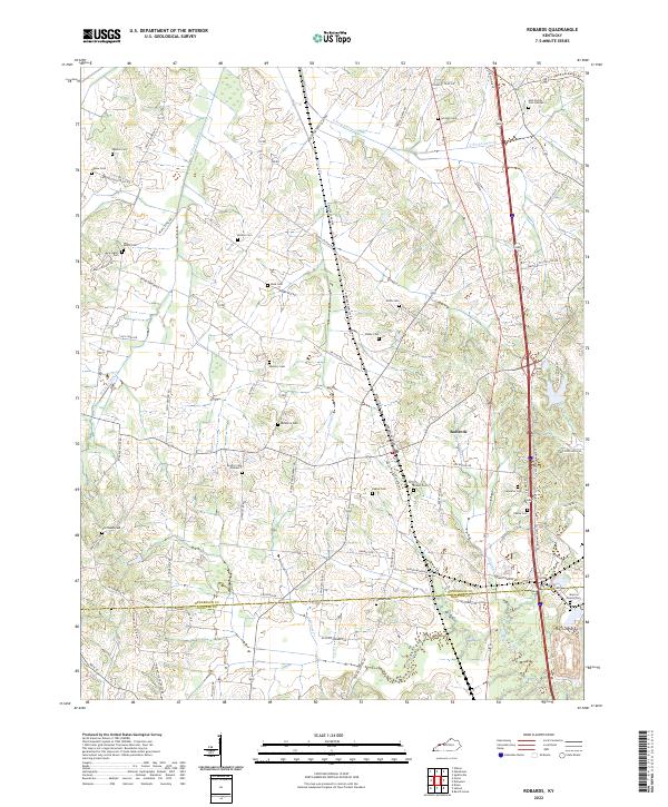
2022 Map of Robards
USGS Topo · Published 2022About this map
The community of Robards serves as a central hub in this agricultural region south of Henderson, where family legacies are preserved across numerous small burial grounds. Genealogists can find the Gish Family Cem Number 2, Royster Cem Number 1, and Majors Family Cem scattered across the landscape. The terrain is defined by the winding paths of Canoe Cr and its tributaries, including W Fork Canoe Cr and E Fork Canoe Cr, which carve through the undulating hills.
Find a feature on this map
79 named features on this map. Tap any name to fly to it.
Don’t see what you’re looking for? This feature index may not catch every label — zoom into the map to look around manually.
Map Details
Editions of this 2022 Robards Map
This is the sole edition of this map. No revisions or reprints were ever made.
Other maps of this area

1905 · Newburg
USGS Topo · 1:62,500

1906 · Sebree
USGS Topo · 1:62,500

1908 · Calhoun
USGS Topo · 1:62,500

1914 · Henderson
USGS Topo · 1:48,000

1916 · Henderson
USGS Topo · 1:62,500

1949 · Sebree
USGS Topo · 1:24,000

1949 · Poole
USGS Topo · 1:24,000

1949 · Robards
USGS Topo · 1:24,000

1951 · Dixon
USGS Topo · 1:24,000

1951 · Poole
USGS Topo · 1:24,000