
1931 Map of Robbinston
USGS Topo · Published 1945About this map
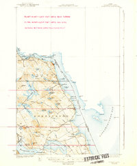
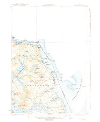
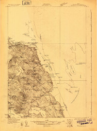
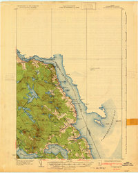
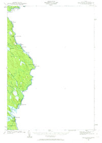
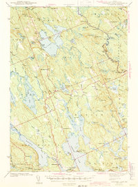
The St Croix River defines the international boundary between Maine and New Brunswick in this 1929 survey, revealing a landscape where coastal settlements like Robbinston and Red Beach thrived on the shoreline of Passamaquoddy Bay. The interior is characterized by a dense network of freshwater bodies, including the Gurrewock Lakes and Nashs Lake, which drain through systems like Western Stream toward the coast.
Find a feature on this map
80 named features on this map. Tap any name to fly to it.
Don’t see what you’re looking for? This feature index may not catch every label — zoom into the map to look around manually.
Map Details
Editions of this 1931 Robbinston Map
4 editions found
Other maps of this area

1907 · Eastport
USGS Topo · 1:48,000

1908 · Eastport
USGS Topo · 1:62,500

1929 · Calais
USGS Topo · 1:48,000
1929 · Robbinston
USGS Topo · 1:48,000
1931 · Robbinston
USGS Topo · 1:62,500

1932 · Calais
USGS Topo · 1:62,500
1940 · Kellyland
USGS Topo · 1:62,500

1941 · Gardner Lake
USGS Topo · 1:62,500

1942 · Kellyland
USGS Topo · 1:62,500
1943 · Gardner Lake
USGS Topo · 1:62,500