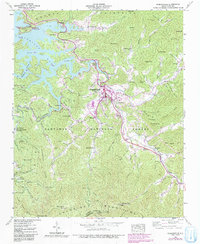
2022 Map of Robbinsville
USGS Topo · Published 2022About this map
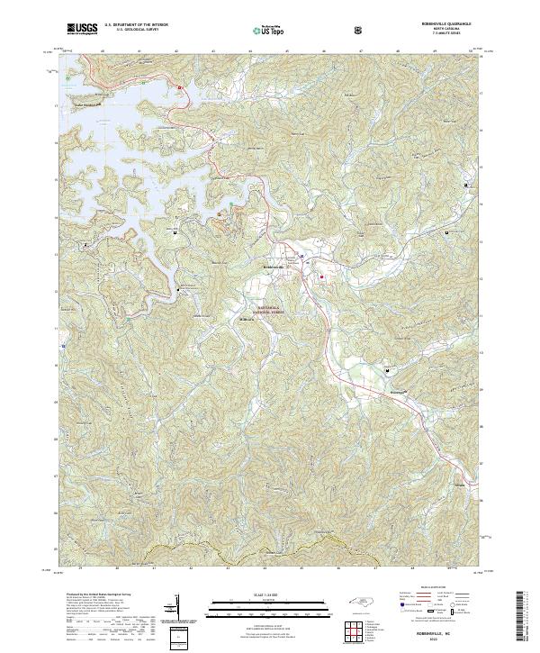
Robbinsville serves as the central hub of this mountain landscape, anchored by the Graham County Courthouse and surrounded by a network of smaller communities including Milltown, Sweetgum, and Tulula. The western edge is dominated by the waters of Santeetlah Lake and Lake Santeetlah, while the high ridges of the Cheoah Mountains and Snowbird Mountains define the local topography. This 2022 survey captures the modern infrastructure of the region, specifically the Cherohala Skyway as it winds through the Nantahala National Forest. Genealogists and local historians will find several family-named landmarks and burial sites, such as the Buffalo Baptist Church Graveyard, Rice Cem, and Holloway Cem. The map also documents local industry and landmarks, ranging from the Massey Quarry to the Joanna Tower atop the high peaks.
Find a feature on this map
123 named features on this map. Tap any name to fly to it.
Don’t see what you’re looking for? This feature index may not catch every label — zoom into the map to look around manually.
Map Details
Editions of this 2022 Robbinsville Map
This is the sole edition of this map. No revisions or reprints were ever made.
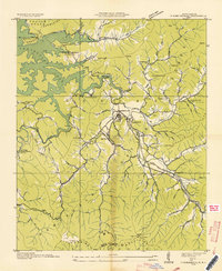
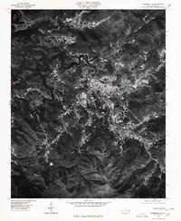
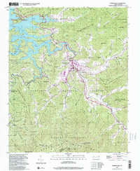
Historical Maps of Tulula Through Time
5 maps found