2022 Map of Robinson
USGS Topo · Published 2022About this map
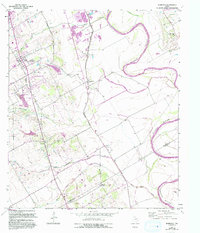
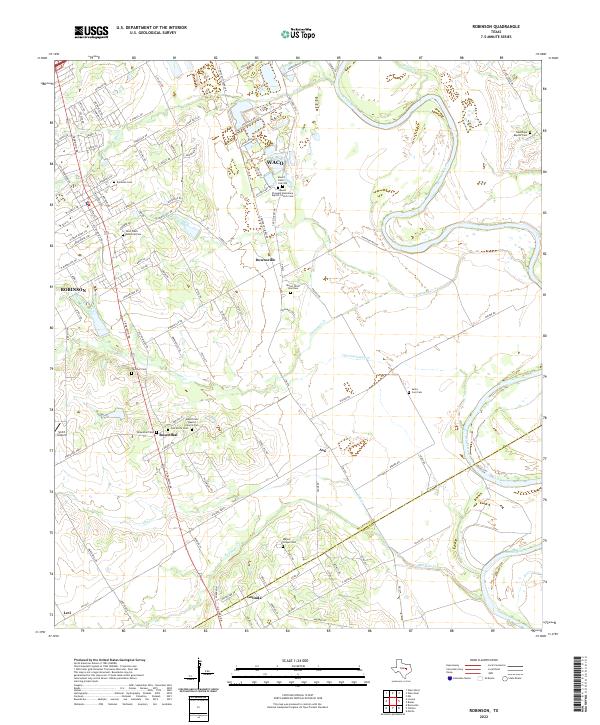
The Brazos River meanders across this Central Texas landscape south of Waco, defining a region characterized by scattered rural settlements and significant genealogical sites. Small communities such as Downsville, Rosenthal, and Asa are linked by a network of farm-to-market roads and local routes like FM 434 and S Robinson Dr. The map reveals a high density of burial grounds and rural parishes, including Mount Olive Cem Old, Rosenthal Cem, and the Mount Zion Baptist Church Cem, which serve as vital touchstones for family history research in this part of McLennan County.
Find a feature on this map
123 named features on this map. Tap any name to fly to it.
Don’t see what you’re looking for? This feature index may not catch every label — zoom into the map to look around manually.
Map Details
Editions of this 2022 Robinson Map
This is the sole edition of this map. No revisions or reprints were ever made.