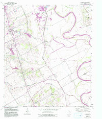
1957 Map of Robinson
USGS Topo · Published 1993About this map
Robinson and the surrounding agricultural lands of McLennan and Falls Counties are captured here as they evolved through the mid-to-late 20th century. The winding Brazos River forms the eastern edge of the survey, bordered by extensive levee systems and floodplains where Castleman Creek and Old Castleman Creek meet the river's path. This landscape is marked by its rural religious and social hubs, including Majors Chapel, Mt Zion Church, and the Rodeo Ground near the center of the sheet. Smaller settlements like Downsville, Asa, and Golinda are shown along the rail and road corridors, while numerous family and community burial sites like St Pauls Memorial Cemetery and Christian Cemetery provide significant points of interest for genealogical research into the area's local heritage.
Find a feature on this map
25 named features on this map. Tap any name to fly to it.
Don’t see what you’re looking for? This feature index may not catch every label — zoom into the map to look around manually.
Map Details
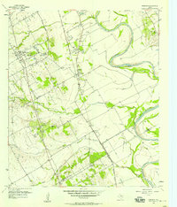
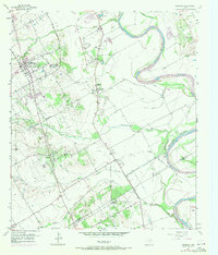
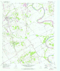
Editions of this 1957 Robinson Map
4 editions found
Other maps of this area

1892 · Temple
USGS Topo · 1:125,000

1892 · Waco
USGS Topo · 1:125,000

1920 · Waco
USGS Topo · 1:125,000

1920 · Mart
USGS Topo · 1:62,500

1924 · Waco 4-c
USGS Topo · 1:48,000

1931 · Elm Mott
USGS Topo · 1:62,500

1954 · Waco
USGS Topo · 1:250,000

1955 · Waco
USGS Topo · 1:250,000

1957 · Bruceville
USGS Topo · 1:24,000

1957 · Lorena
USGS Topo · 1:24,000