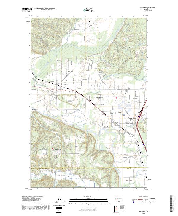
2023 Map of Rochester
USGS Topo · Published 2023About this map
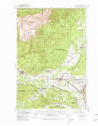
The Chehalis River and its various tributaries, including Black River and Scatter Creek, define the landscape of this region where the southern Puget Sound prairies meet the river valleys. The settlement of Rochester sits at a central crossroads, surrounded by distinct geographic features such as Mima Prairie to the north and Grand Mound Prairie to the east. These open landscapes are historically significant as part of the specialized prairie ecosystems of Western Washington.
Find a feature on this map
66 named features on this map. Tap any name to fly to it.
Don’t see what you’re looking for? This feature index may not catch every label — zoom into the map to look around manually.
Map Details
Editions of this 2023 Rochester Map
This is the sole edition of this map. No revisions or reprints were ever made.
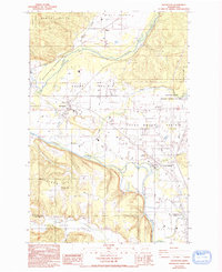
Historical Maps of Mima Through Time
3 maps found